Runway & Layout

Airport Specifications
IATA code
QOQ
ICAO code
BGSO
Airport class
Heliport
Scheduled service
Yes
Served city
Saarloq
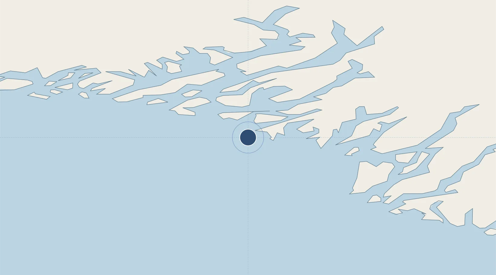
Location
Nearby Logistics Neighbours
Airports
- 1Eqalugaarsuit Heliport11 km
- 2Qaqortoq Heliport20 km
- 3Alluitsup Paa Heliport26 km
- 4Ammassivik Heliport36 km
- 5Narsaq Heliport42 km
Cities
- 1Nalunaq Gold Mine65 km
- 2Beauly375 km
- 3Nuuk (Godthaab)501 km
- 4Seqi Olivine Mine567 km
- 5Toqqusaq575 km
Ports
- 1Qaqortoq20 km
- 2Narsaq42 km
- 3Nanortalik Havn65 km
- 4Narsarssuaq75 km
- 5Gronnedal (Kangilinnguit)136 km
Trade Zones
- 1Crossroads Business Park1398 km
- 2Cape Breton Regional Municipality Foreign Trade Zone1864 km
- 3FTZ No. 179 Madawaska2056 km
- 4Halifax Gateway2113 km
- 5Saint John2147 km
DatabookThe Record of Consolidated Knowledge
Greenland beyond logistics?