Diversified Zone · China

Yizheng Economic Development Zone Active
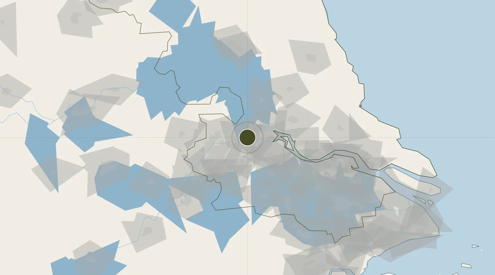
32.2603°, 119.2497°
6,800 ha
Zone area
17.3 km
Nearest port
55.5 km
Nearest airport

Gateway access

Nearest neighbours — logibook spatial index (haversine) over the source coordinates

Zone profile

Zone type
Diversified Zone
Open Zone Map
Region
Jiangsu
Open Zone Map
Status
Active
Open Zone Map
Management
Public
Open Zone Map
Operator
Management Commitiee
Open Zone Map
Legal framework
In 1993, the provincial development zone was established with the approval of Jiangsu Provincial People's Government
Open Zone Map

Location

Location of ozm-971
Natural Earth 10m (public domain) · Jiangsu · ozm-971 · 32.26, 119.25GoogleOSMYandex

Nearby Logistics Neighbours

Ports
  1. 1Yangzhou17 km
  2. 2Zhenjiang18 km
  3. 3Nanjing51 km
  4. 4Gaogang57 km
  5. 5Changzhou76 km
Nearest neighbours — logibook spatial index (haversine) over the source coordinates
Airports
  1. 1Yangzhou Taizhou Airport56 km
  2. 2Changzhou Benniu International Airport62 km
  3. 3Nanjing Lukou International Airport69 km
  4. 4Rugao Air Base118 km
  5. 5Wuhu Xuanzhou Airport140 km
Nearest neighbours — logibook spatial index (haversine) over the source coordinates
Cities
  1. 1Yizheng8 km
  2. 2Yangzhou18 km
  3. 3Zhenjiang37 km
  4. 4Nanjing37 km
  5. 5Jurong39 km
Nearest neighbours — logibook spatial index (haversine) over the source coordinates
Trade Zones
  1. 1Yizheng Economic Development Zone0 km
  2. 2Yangzhou Chemical Industrial Park9 km
  3. 3Dantu Economic Development Park13 km
  4. 4Dantu Economic Development Zone13 km
  5. 5Zhenjiang Runzhou Industrial Park15 km
Nearest neighbours — logibook spatial index (haversine) over the source coordinates
DatabookThe Record of Consolidated Knowledge
China beyond logistics?
Browse databook

All Sources

Trade ZonesOpen Zone Map
CC BY
Portsthe NGA World Port Index
Public domain (US gov)
AirportsOurAirports
Public domain
LocationsUN/LOCODE
UN/LOCODE — free
← China trade zones