Diversified Zone · China

Yangzhou Chemical Industrial Park Active
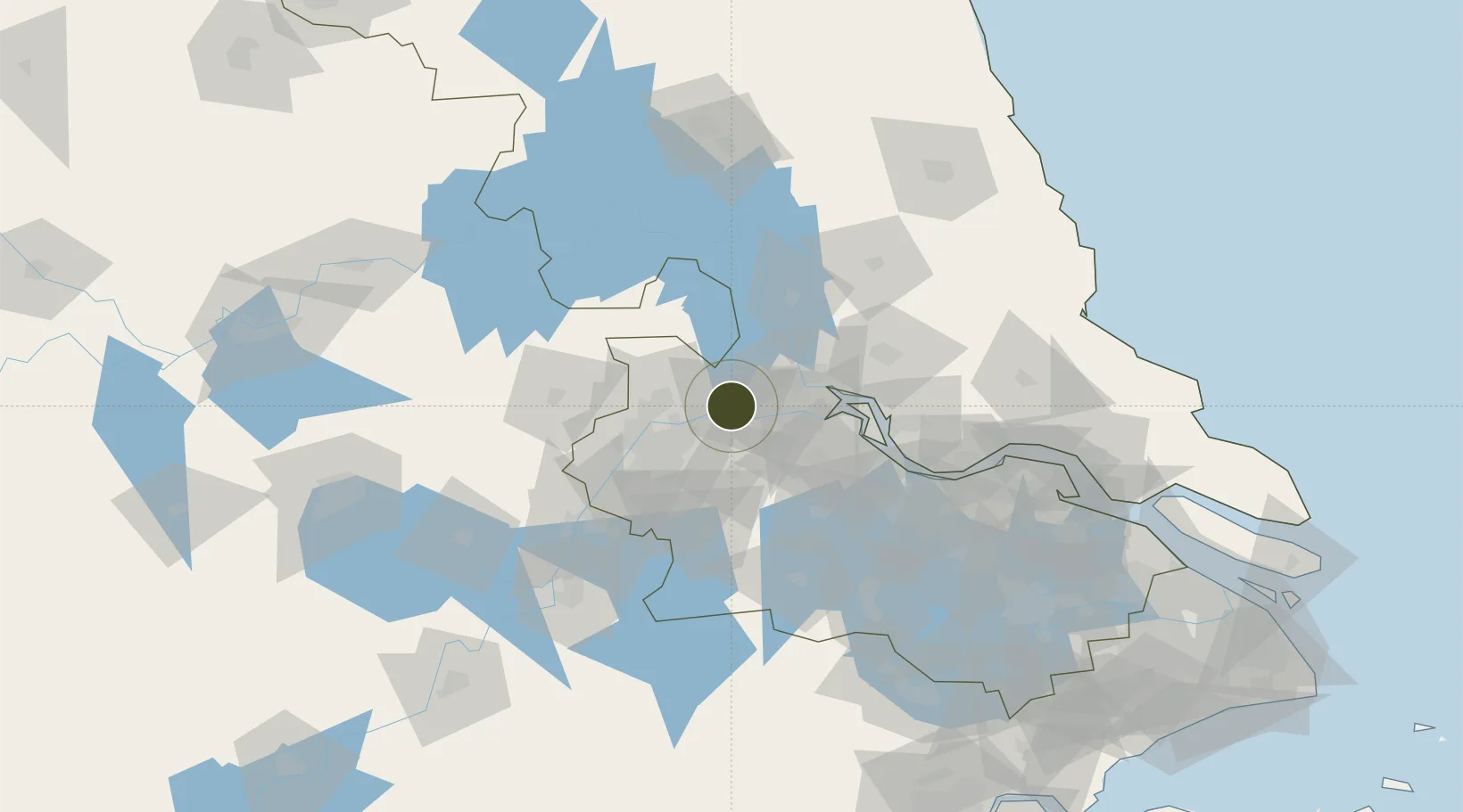
32.2622°, 119.1598°
467 ha
Zone area
25.7 km
Nearest port
62.3 km
Nearest airport

Gateway access

Nearest neighbours — logibook spatial index (haversine) over the source coordinates

Zone profile

Zone type
Diversified Zone
Open Zone Map
Region
Jiangsu
Open Zone Map
Status
Active
Open Zone Map
Management
Public
Open Zone Map
Operator
Management Commitiee
Open Zone Map
Legal framework
On May 31, 2006, the National Development and Reform Commission officially announced the establishment of the provincial Yangzhou Chemical Industry Park
Open Zone Map

Location

Location of ozm-522
Natural Earth 10m (public domain) · Jiangsu · ozm-522 · 32.26, 119.16GoogleOSMYandex

Nearby Logistics Neighbours

Ports
  1. 1Yangzhou26 km
  2. 2Zhenjiang26 km
  3. 3Nanjing43 km
  4. 4Gaogang65 km
  5. 5Changzhou84 km
Nearest neighbours — logibook spatial index (haversine) over the source coordinates
Airports
  1. 1Yangzhou Taizhou Airport62 km
  2. 2Nanjing Lukou International Airport65 km
  3. 3Changzhou Benniu International Airport69 km
  4. 4Rugao Air Base126 km
  5. 5Wuhu Xuanzhou Airport137 km
Nearest neighbours — logibook spatial index (haversine) over the source coordinates
Cities
  1. 1Yizheng1 km
  2. 2Yangzhou26 km
  3. 3Nanjing30 km
  4. 4Jurong38 km
  5. 5Zhenjiang45 km
Nearest neighbours — logibook spatial index (haversine) over the source coordinates
Trade Zones
  1. 1Yizheng Economic Development Zone9 km
  2. 2Yizheng Economic Development Zone9 km
  3. 3Dantu Economic Development Park19 km
  4. 4Dantu Economic Development Zone19 km
  5. 5Zhenjiang Runzhou Industrial Park23 km
Nearest neighbours — logibook spatial index (haversine) over the source coordinates
DatabookThe Record of Consolidated Knowledge
China beyond logistics?
Browse databook

All Sources

Trade ZonesOpen Zone Map
CC BY
Portsthe NGA World Port Index
Public domain (US gov)
AirportsOurAirports
Public domain
LocationsUN/LOCODE
UN/LOCODE — free
← China trade zones