Diversified Zone · China

Zhenjiang Runzhou Industrial Park Active
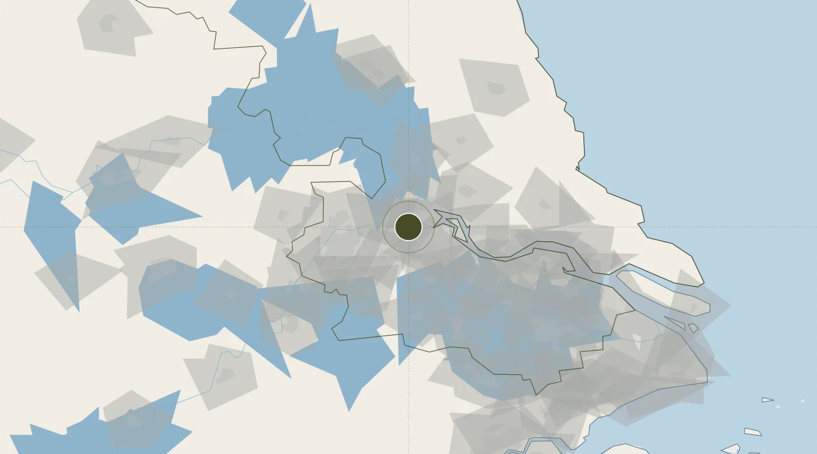
32.2043°, 119.3957°
1,200 ha
Zone area
3.8 km
Nearest port
47.7 km
Nearest airport

Gateway access

Nearest neighbours — logibook spatial index (haversine) over the source coordinates

Zone profile

Zone type
Diversified Zone
Open Zone Map
Region
Jiangsu
Open Zone Map
Status
Active
Open Zone Map
Management
Public
Open Zone Map
Operator
Management Commitiee
Open Zone Map
Legal framework
It was established on February 26, 2006 and approved by Jiangsu Provincial People's Government on April 15, 2006
Open Zone Map

Location

Location of ozm-726
Natural Earth 10m (public domain) · Jiangsu · ozm-726 · 32.20, 119.40GoogleOSMYandex

Nearby Logistics Neighbours

Ports
  1. 1Zhenjiang4 km
  2. 2Yangzhou8 km
  3. 3Gaogang44 km
  4. 4Changzhou61 km
  5. 5Nanjing62 km
Nearest neighbours — logibook spatial index (haversine) over the source coordinates
Airports
  1. 1Changzhou Benniu International Airport48 km
  2. 2Yangzhou Taizhou Airport50 km
  3. 3Nanjing Lukou International Airport72 km
  4. 4Rugao Air Base104 km
  5. 5Sunan Shuofang International Airport125 km
Nearest neighbours — logibook spatial index (haversine) over the source coordinates
Cities
  1. 1Yangzhou12 km
  2. 2Zhenjiang22 km
  3. 3Yizheng23 km
  4. 4Jurong39 km
  5. 5Yangzhong40 km
Nearest neighbours — logibook spatial index (haversine) over the source coordinates
Trade Zones
  1. 1Dantu Economic Development Park9 km
  2. 2Dantu Economic Development Zone9 km
  3. 3Yizheng Economic Development Zone15 km
  4. 4Yizheng Economic Development Zone15 km
  5. 5Jingkou Industrial Park17 km
Nearest neighbours — logibook spatial index (haversine) over the source coordinates
DatabookThe Record of Consolidated Knowledge
China beyond logistics?
Browse databook

All Sources

Trade ZonesOpen Zone Map
CC BY
Portsthe NGA World Port Index
Public domain (US gov)
AirportsOurAirports
Public domain
LocationsUN/LOCODE
UN/LOCODE — free
← China trade zones