Diversified Zone · China

Donghai Economic Development Zone Active

34.5369°, 118.8025°
4,200 ha
Zone area
63.1 km
Nearest port
37.1 km
Nearest airport

Gateway access

Nearest neighbours — logibook spatial index (haversine) over the source coordinates

Zone profile

Zone type
Diversified Zone
Open Zone Map
Region
Jiangsu
Open Zone Map
Status
Active
Open Zone Map
Management
Public
Open Zone Map
Operator
Donghai Economic Development Zone Management Committee
Open Zone Map
Legal framework
In March 1994, shanwei Municipal people's Government and Guangdong Provincial people's Government approved its establishment
Open Zone Map

Location

Location of ozm-931
Natural Earth 10m (public domain) · Jiangsu · ozm-931 · 34.54, 118.80GoogleOSMYandex

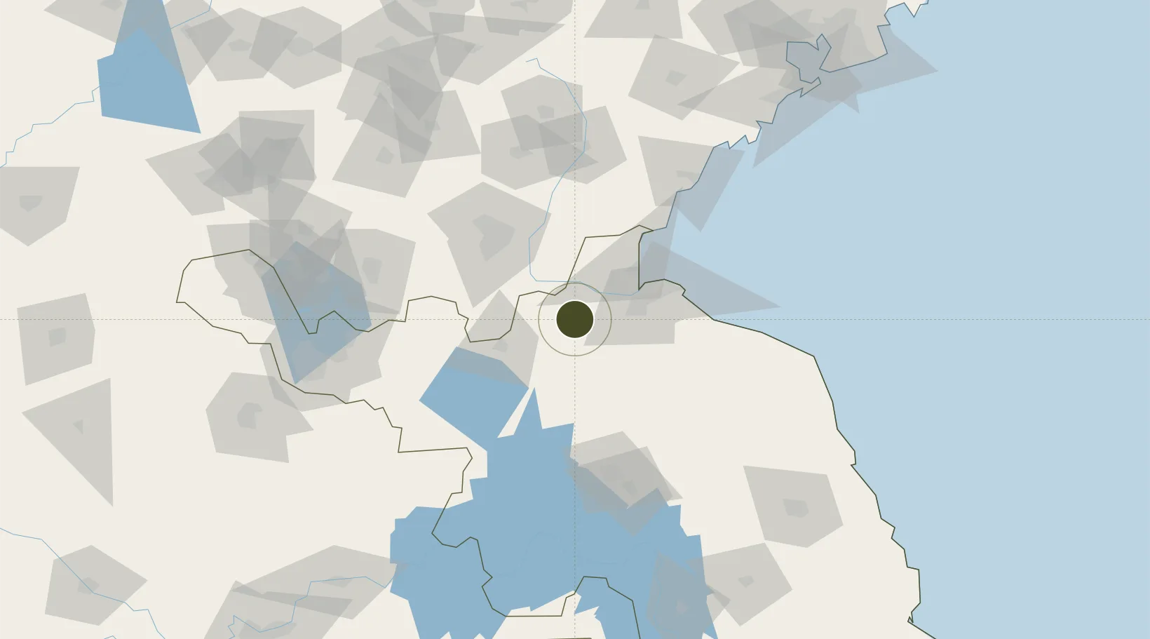
Nearby Logistics Neighbours

Ports
  1. 1Lianyungang63 km
  2. 2Lanshan79 km
  3. 3Rizhao117 km
  4. 4Qingdao Gang213 km
  5. 5Yangzhou259 km
Nearest neighbours — logibook spatial index (haversine) over the source coordinates
Airports
  1. 1Lianyungang Huaguoshan International Airport37 km
  2. 2Linyi Qiyang Airport68 km
  3. 3Huai'an Lianshui Airport88 km
  4. 4Rizhao Shanzihe Airport108 km
  5. 5Xuzhou Guanyin International Airport126 km
Nearest neighbours — logibook spatial index (haversine) over the source coordinates
Cities
  1. 1Lianyungang55 km
  2. 2Baimao57 km
  3. 3Zhangshan65 km
  4. 4Chizhou74 km
  5. 5Pizhou76 km
Nearest neighbours — logibook spatial index (haversine) over the source coordinates
DatabookThe Record of Consolidated Knowledge
China beyond logistics?
Browse databook

All Sources

Trade ZonesOpen Zone Map
CC BY
Portsthe NGA World Port Index
Public domain (US gov)
AirportsOurAirports
Public domain
LocationsUN/LOCODE
UN/LOCODE — free
← China trade zones