Diversified Zone · China

Xiangshui Economic Development Zone Active
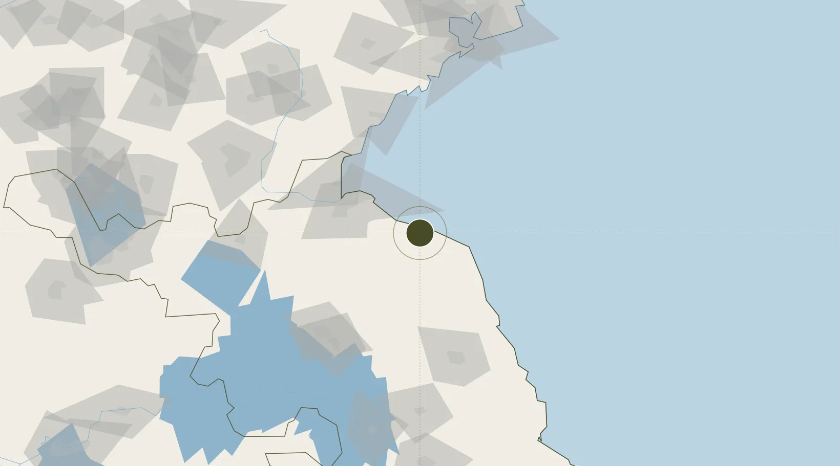
34.4282°, 119.8477°
2,200 ha
Zone area
49.8 km
Nearest port
61.4 km
Nearest airport

Gateway access

Nearest neighbours — logibook spatial index (haversine) over the source coordinates

Zone profile

Zone type
Diversified Zone
Open Zone Map
Region
Jiangsu
Open Zone Map
Status
Active
Open Zone Map
Management
Public
Open Zone Map
Operator
Xiangshui Economic Development Zone Management committee
Open Zone Map
Legal framework
It was founded in August 2006
Open Zone Map

Location

Location of ozm-835
Natural Earth 10m (public domain) · Jiangsu · ozm-835 · 34.43, 119.85GoogleOSMYandex

Nearby Logistics Neighbours

Ports
  1. 1Lianyungang50 km
  2. 2Lanshan85 km
  3. 3Rizhao109 km
  4. 4Qingdao Gang183 km
  5. 5Gaogang239 km
Nearest neighbours — logibook spatial index (haversine) over the source coordinates
Airports
  1. 1Lianyungang Huaguoshan International Airport61 km
  2. 2Huai'an Lianshui Airport97 km
  3. 3Yancheng Nanyang International Airport116 km
  4. 4Rizhao Shanzihe Airport119 km
  5. 5Linyi Qiyang Airport149 km
Nearest neighbours — logibook spatial index (haversine) over the source coordinates
Cities
  1. 1Lianyungang55 km
  2. 2Sanya Pt81 km
  3. 3Sheyang82 km
  4. 4Lanshan Pt84 km
  5. 5Rizhao105 km
Nearest neighbours — logibook spatial index (haversine) over the source coordinates
Trade Zones
  1. 1Lianyungang Chemical Industrial Park7 km
  2. 2Binhai Economic Development Zone28 km
  3. 3Guanyun Economic Development Zone57 km
  4. 4Lianyungang Export Processing Zone58 km
  5. 5Haizhou Economic Development Zone60 km
Nearest neighbours — logibook spatial index (haversine) over the source coordinates
DatabookThe Record of Consolidated Knowledge
China beyond logistics?
Browse databook

All Sources

Trade ZonesOpen Zone Map
CC BY
Portsthe NGA World Port Index
Public domain (US gov)
AirportsOurAirports
Public domain
LocationsUN/LOCODE
UN/LOCODE — free
← China trade zones