Diversified Zone · China

Lianyungang Chemical Industrial Park Active
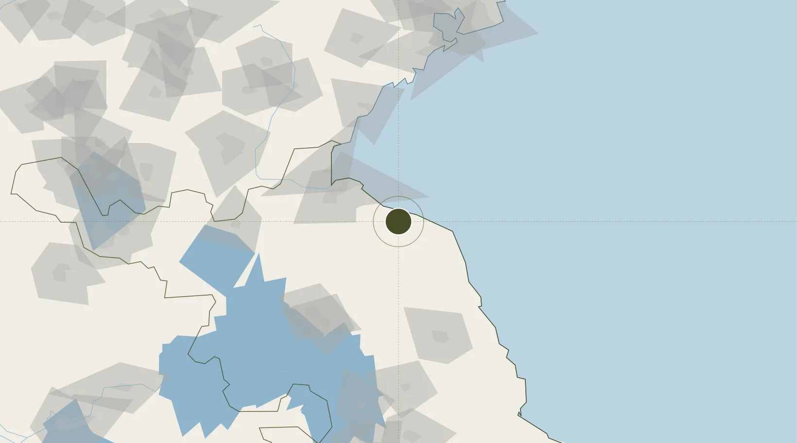
34.3982°, 119.7819°
972 ha
Zone area
48.1 km
Nearest port
55.3 km
Nearest airport

Gateway access

Nearest neighbours — logibook spatial index (haversine) over the source coordinates

Zone profile

Zone type
Diversified Zone
Open Zone Map
Region
Jiangsu
Open Zone Map
Status
Active
Open Zone Map
Management
Public
Open Zone Map
Operator
Management Commitiee
Open Zone Map
Legal framework
In June 2003, it was approved by Lianyungang Municipal People's Government
Open Zone Map

Location

Location of ozm-660
Natural Earth 10m (public domain) · Jiangsu · ozm-660 · 34.40, 119.78GoogleOSMYandex

Nearby Logistics Neighbours

Ports
  1. 1Lianyungang48 km
  2. 2Lanshan85 km
  3. 3Rizhao111 km
  4. 4Qingdao Gang187 km
  5. 5Gaogang235 km
Nearest neighbours — logibook spatial index (haversine) over the source coordinates
Airports
  1. 1Lianyungang Huaguoshan International Airport55 km
  2. 2Huai'an Lianshui Airport90 km
  3. 3Yancheng Nanyang International Airport115 km
  4. 4Rizhao Shanzihe Airport120 km
  5. 5Linyi Qiyang Airport145 km
Nearest neighbours — logibook spatial index (haversine) over the source coordinates
Cities
  1. 1Lianyungang53 km
  2. 2Sanya Pt81 km
  3. 3Sheyang82 km
  4. 4Lanshan Pt84 km
  5. 5Rizhao107 km
Nearest neighbours — logibook spatial index (haversine) over the source coordinates
Trade Zones
  1. 1Xiangshui Economic Development Zone7 km
  2. 2Binhai Economic Development Zone32 km
  3. 3Guanyun Economic Development Zone51 km
  4. 4Lianyungang Export Processing Zone55 km
  5. 5Haizhou Economic Development Zone55 km
Nearest neighbours — logibook spatial index (haversine) over the source coordinates
DatabookThe Record of Consolidated Knowledge
China beyond logistics?
Browse databook

All Sources

Trade ZonesOpen Zone Map
CC BY
Portsthe NGA World Port Index
Public domain (US gov)
AirportsOurAirports
Public domain
LocationsUN/LOCODE
UN/LOCODE — free
← China trade zones