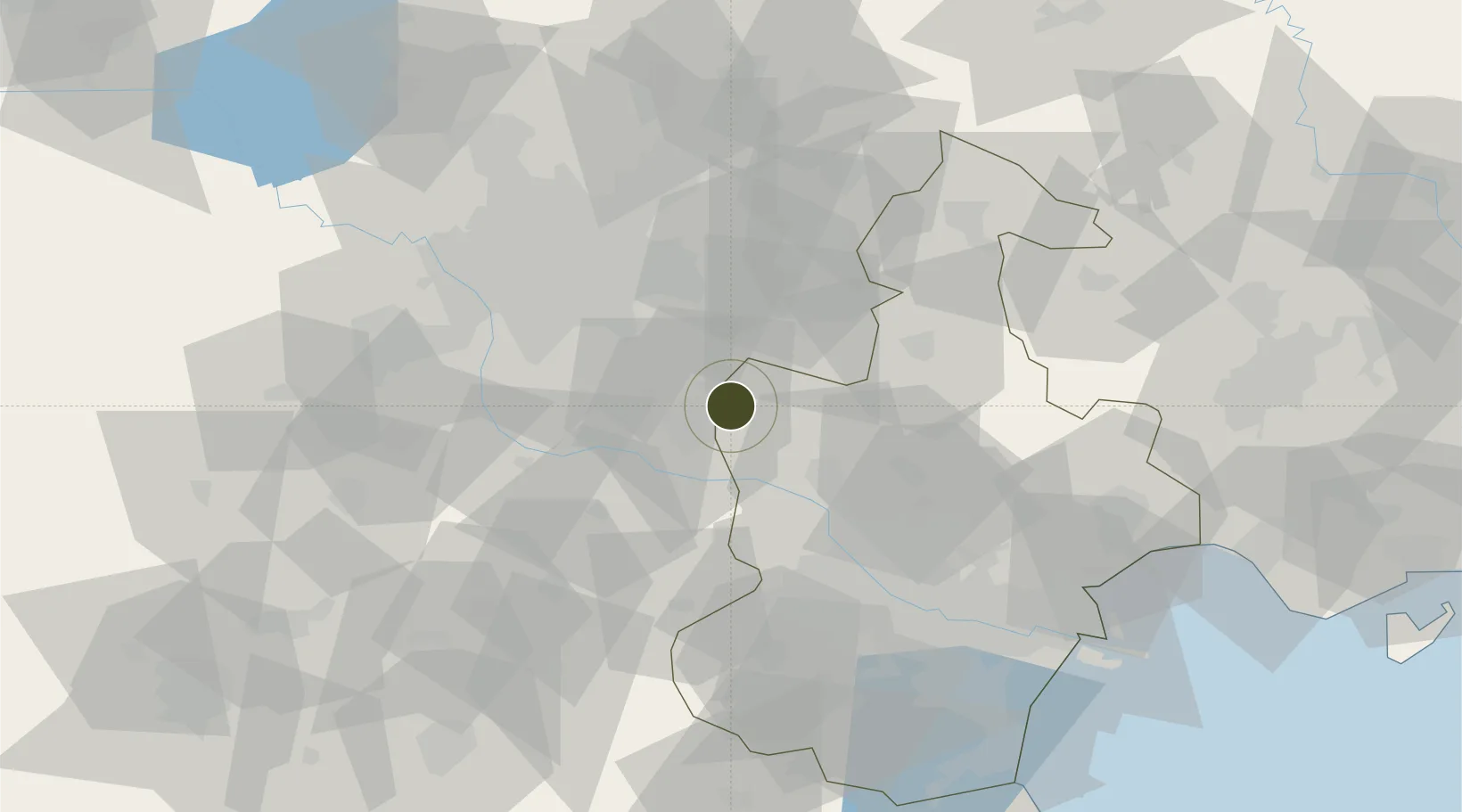
Diversified Zone · China

Jingbin Industrial Park Active

39.5659°, 116.8324°
945 ha
Zone area
108.9 km
Nearest port
29.3 km
Nearest airport

Gateway access

Nearest neighbours — logibook spatial index (haversine) over the source coordinates

Zone profile

Zone type
Diversified Zone
Open Zone Map
Region
Tianjin
Open Zone Map
Status
Active
Open Zone Map
Management
Public
Open Zone Map
Operator
Management Committee of Jingbin Industrial Park
Open Zone Map
Legal framework
Regulations on Taxation Policies of National High-Tech Industrial Development Zones Approved by State Council of the People's Republic of China Mar 6, 1991; Administrative Measures for the Recognition of High-tech Enterprises; Ministry of Science and Tech
Open Zone Map

Location

Location of ozm-658
Natural Earth 10m (public domain) · Tianjin · ozm-658 · 39.57, 116.83GoogleOSMYandex

Nearby Logistics Neighbours

Ports
  1. 1Tianjin Xin Gang109 km
  2. 2Tangshan (Jingtang)192 km
  3. 3Qinhuangdao242 km
  4. 4Longkou Gang369 km
  5. 5Huludao Gang375 km
Nearest neighbours — logibook spatial index (haversine) over the source coordinates
Airports
  1. 1Beijing Tongxian Air Base29 km
  2. 2Yangcun Air Base31 km
  3. 3Beijing Daxing International Airport37 km
  4. 4Beijing Nanjiao Airport41 km
  5. 5Beijing Capital International Airport60 km
Nearest neighbours — logibook spatial index (haversine) over the source coordinates
Cities
  1. 1Wuqing6 km
  2. 2Langfang13 km
  3. 3Daxing36 km
  4. 4Yizhuang40 km
  5. 5Yutai43 km
Nearest neighbours — logibook spatial index (haversine) over the source coordinates
DatabookThe Record of Consolidated Knowledge
China beyond logistics?
Browse databook

All Sources

Trade ZonesOpen Zone Map
CC BY
Portsthe NGA World Port Index
Public domain (US gov)
AirportsOurAirports
Public domain
LocationsUN/LOCODE
UN/LOCODE — free
← China trade zones