Diversified Zone · China

Susong Economic Development Zone Active
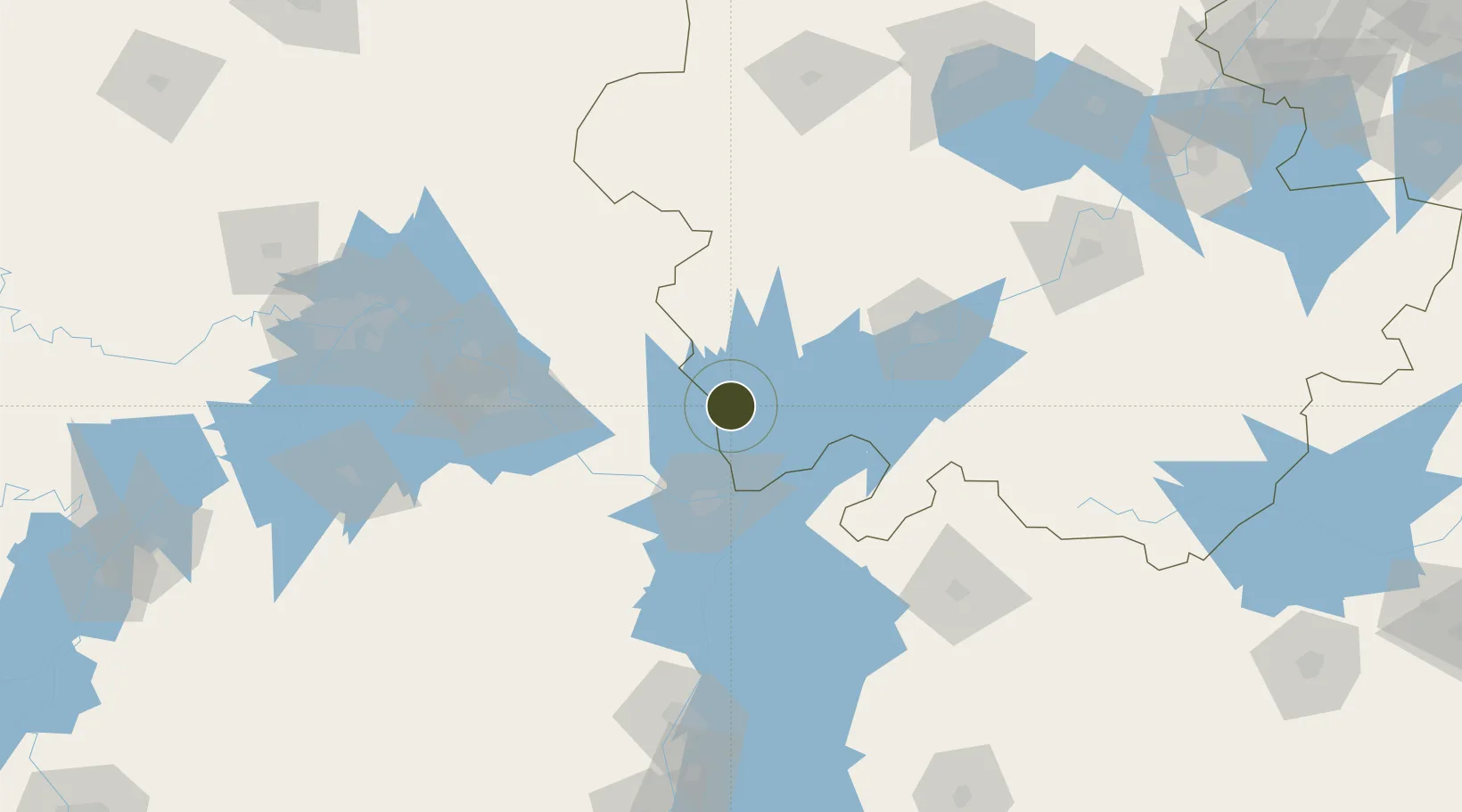
30.1943°, 116.1257°
1,120 ha
Zone area
181.9 km
Nearest port
85.7 km
Nearest airport

Gateway access

Nearest neighbours — logibook spatial index (haversine) over the source coordinates

Zone profile

Zone type
Diversified Zone
Open Zone Map
Region
Anhui
Open Zone Map
Status
Active
Open Zone Map
Management
Public
Open Zone Map
Operator
Susong Economic Development Zone Management Committee
Open Zone Map
Legal framework
It is a key industrial park approved by Anqing municipal government at the end of 2002
Open Zone Map

Location

Location of ozm-710
Natural Earth 10m (public domain) · Anhui · ozm-710 · 30.19, 116.13GoogleOSMYandex

Nearby Logistics Neighbours

Ports
  1. 1Hankow182 km
  2. 2Nanjing326 km
  3. 3Zhenjiang387 km
  4. 4Yangzhou390 km
  5. 5Changzhou417 km
Nearest neighbours — logibook spatial index (haversine) over the source coordinates
Airports
  1. 1Jiujiang Lushan Airport86 km
  2. 2Anqing Tianzhushan Airport / Anqing North Air Base99 km
  3. 3Ezhou Huahu International Airport106 km
  4. 4Jingdezhen Luojia Airport139 km
  5. 5Nanchang Changbei International Airport149 km
Nearest neighbours — logibook spatial index (haversine) over the source coordinates
Cities
  1. 1Shipai52 km
  2. 2Jiujiang55 km
  3. 3Anqing95 km
  4. 4Huangshi Pt99 km
  5. 5Ezhou128 km
Nearest neighbours — logibook spatial index (haversine) over the source coordinates
Trade Zones
  1. 1Huangmei Economic Development Zone25 km
  2. 2Taihu Economic Development Zone36 km
  3. 3Hukou High-tech Industrial Park51 km
  4. 4Pengze Industrial Park54 km
  5. 5Wangjiang Economic Development Zone57 km
Nearest neighbours — logibook spatial index (haversine) over the source coordinates
DatabookThe Record of Consolidated Knowledge
China beyond logistics?
Browse databook

All Sources

Trade ZonesOpen Zone Map
CC BY
Portsthe NGA World Port Index
Public domain (US gov)
AirportsOurAirports
Public domain
LocationsUN/LOCODE
UN/LOCODE — free
← China trade zones