Specialized Zone · Vietnam

Đà Nẵng Seafood Service Industrial Zone Under Development
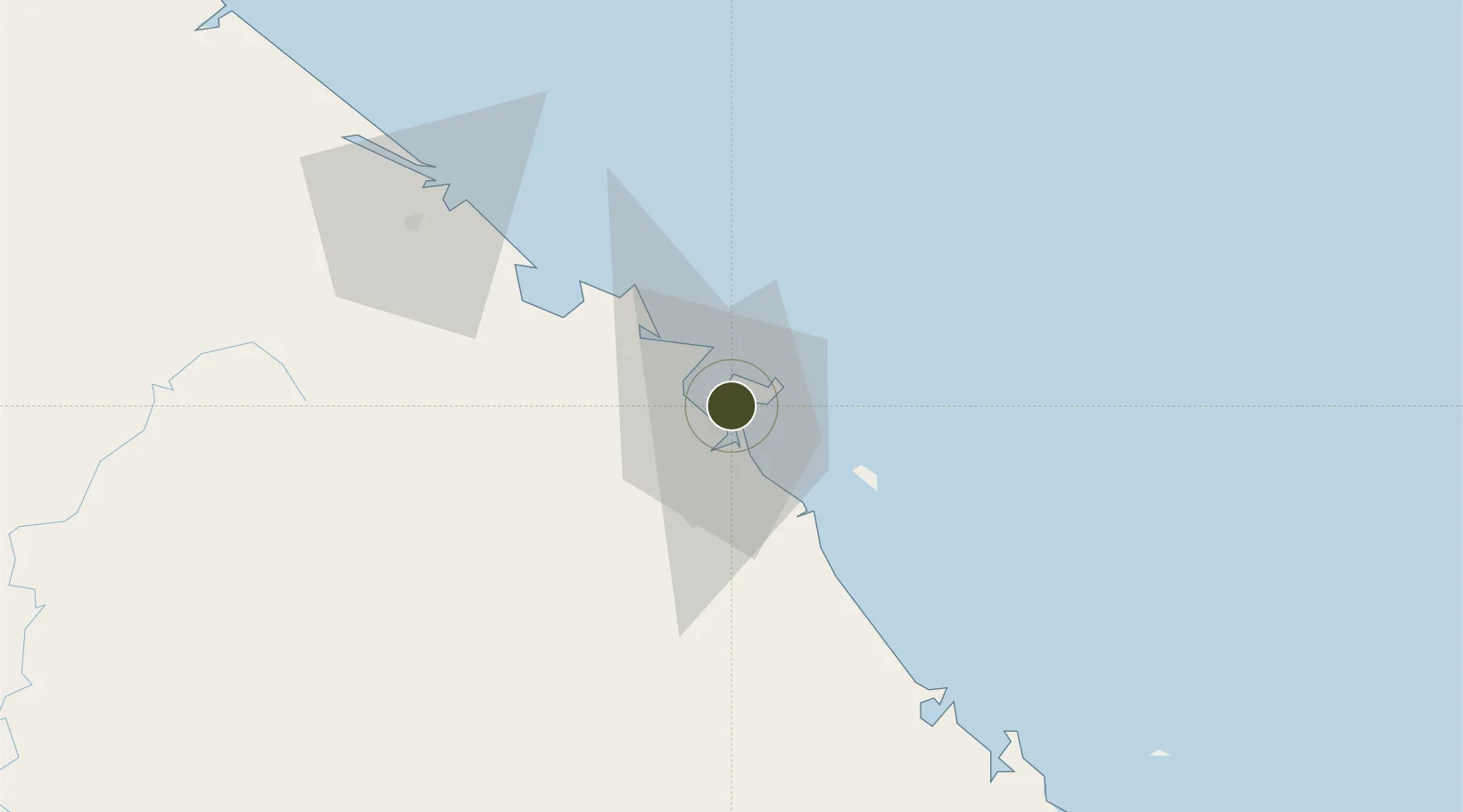
16.0967°, 108.2410°
2.6 km
Nearest port
7.4 km
Nearest airport

Gateway access

Nearest neighbours — logibook spatial index (haversine) over the source coordinates

Zone profile

Zone type
Specialized Zone
Open Zone Map
Specialization
Agriculture
Open Zone Map
Region
Đà Nẵng
Open Zone Map
Status
Under Development
Open Zone Map
Management
Public
Open Zone Map
Operator
Da Nang People's Committee
Open Zone Map
Legal framework
Decree No.82/2018/ND-CP on Management of Industrial Parks and Economic Zones, Decree No 218/2013/ND-CP
Open Zone Map

Location

Location of ozm-5073
Natural Earth 10m (public domain) · Đà Nẵng · ozm-5073 · 16.10, 108.24GoogleOSMYandex

Nearby Logistics Neighbours

Ports
  1. 1Da Nang3 km
  2. 2Sanya278 km
  3. 3Qui Nhon280 km
  4. 4Basuo336 km
  5. 5Nghe Tinh396 km
Nearest neighbours — logibook spatial index (haversine) over the source coordinates
Airports
  1. 1Da Nang International Airport7 km
  2. 2Phu Bai International Airport67 km
  3. 3Chu Lai Airport92 km
  4. 4Pleiku Airport234 km
  5. 5Dong Hoi Airport236 km
Nearest neighbours — logibook spatial index (haversine) over the source coordinates
Cities
  1. 1Hai Son1 km
  2. 2Da Nang1 km
  3. 3Tien Sa Terminal5 km
  4. 4Nguyen Van Troi Port6 km
  5. 5Song Han 96 km
Nearest neighbours — logibook spatial index (haversine) over the source coordinates
Trade Zones
  1. 1Đà Nẵng (An Don) Industrial Zone2 km
  2. 2Đà Nẵng Hi-Tech Park9 km
  3. 3Hoa Khanh Industrial Park12 km
  4. 4Hoa Cam Industrial Park12 km
  5. 5Da Nang Hi-Tech Park12 km
Nearest neighbours — logibook spatial index (haversine) over the source coordinates
DatabookThe Record of Consolidated Knowledge
Vietnam beyond logistics?
Browse databook

All Sources

Trade ZonesOpen Zone Map
CC BY
Portsthe NGA World Port Index
Public domain (US gov)
AirportsOurAirports
Public domain
LocationsUN/LOCODE
UN/LOCODE — free
← Vietnam trade zones