UN/LOCODE hub · United Kingdom
GBSAA
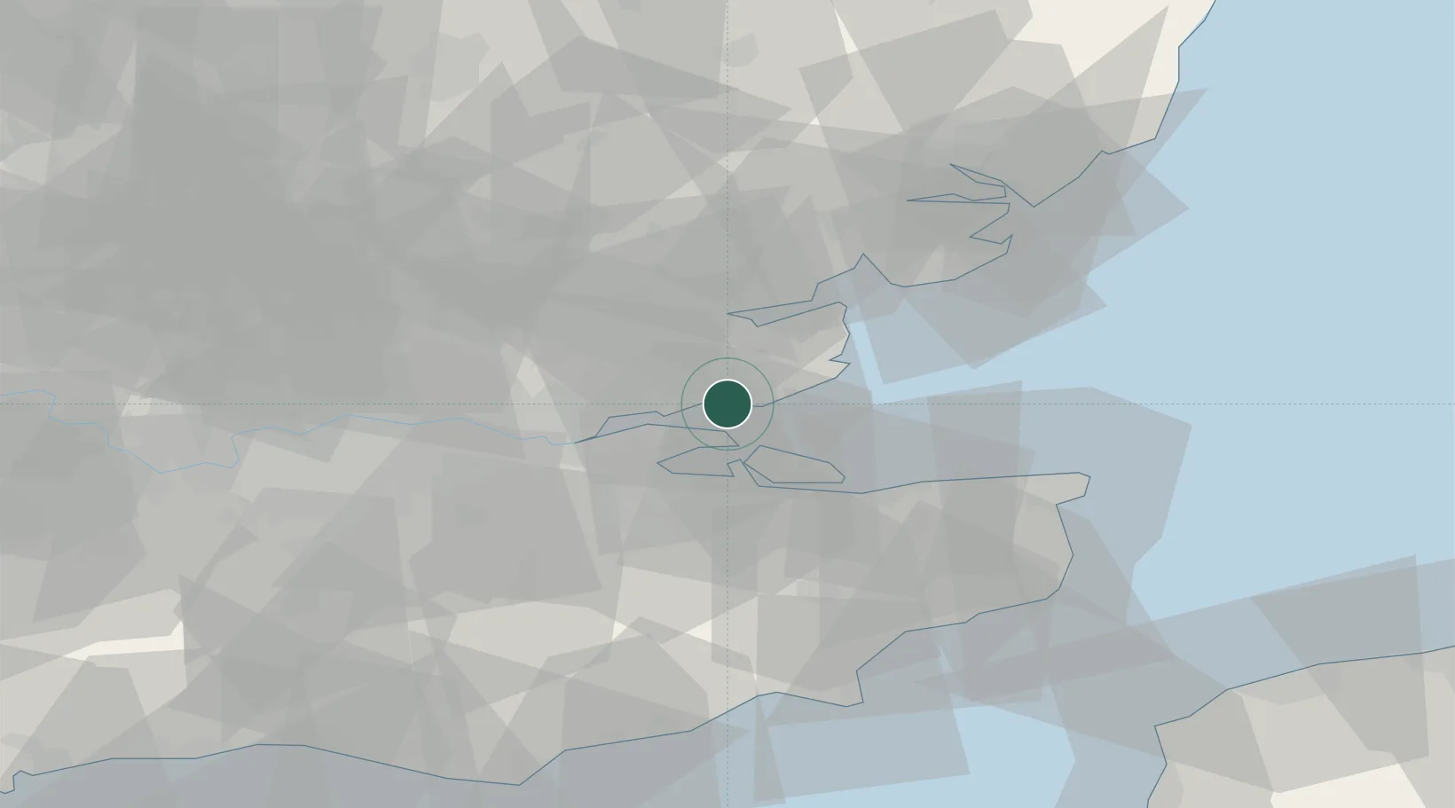
Southend-on-Sea
51.5333°, 0.7000°
295,310
Population
4
Transport functions
Transport Functions
Port
Rail
Road
Multimodal
Hub Profile
Place type
Provincial seat
Region
England
Population
295,310
Time zone
Europe/London
Elevation
31 m
Location
Nearby Logistics Neighbours
Cities
- 1Leigh-on-Sea3 km
- 2Netherfield4 km
- 3North Woolwich4 km
- 4Hadleigh7 km
- 5Great Wakering7 km
Ports
- 1Sheerness10 km
- 2Isle Of Grain11 km
- 3Thamesport11 km
- 4Chatham Docks18 km
- 5Gravesend25 km
Airports
Trade Zones
DatabookThe Record of Consolidated Knowledge
United Kingdom beyond logistics?