Transport Functions
Port
Hub Profile
Place type
Populated place
Region
England
Time zone
Europe/London
Elevation
3 m
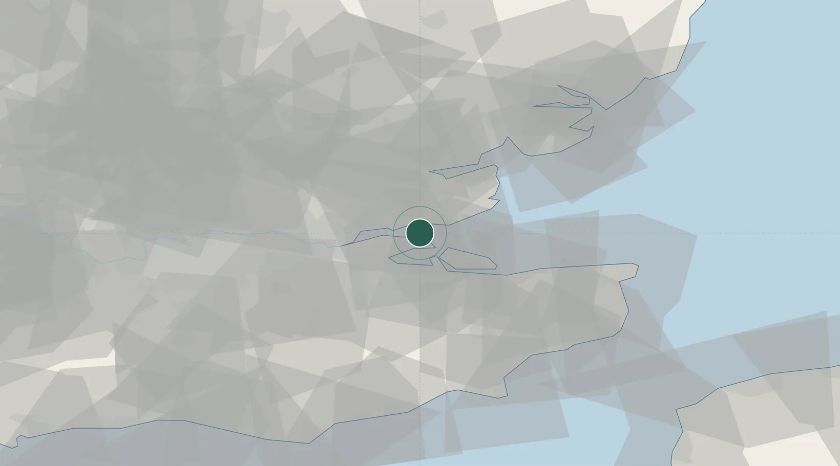
Location
Nearby Logistics Neighbours
Cities
- 1Southend-on-Sea4 km
- 2Leigh-on-Sea6 km
- 3Hadleigh6 km
- 4Isle of Grain6 km
- 5Canvey Island7 km
Ports
- 1Isle Of Grain8 km
- 2Thamesport8 km
- 3Sheerness8 km
- 4Chatham Docks14 km
- 5Gravesend22 km
Airports
Trade Zones
DatabookThe Record of Consolidated Knowledge
United Kingdom beyond logistics?