UN/LOCODE hub · Türkiye
TRKSP
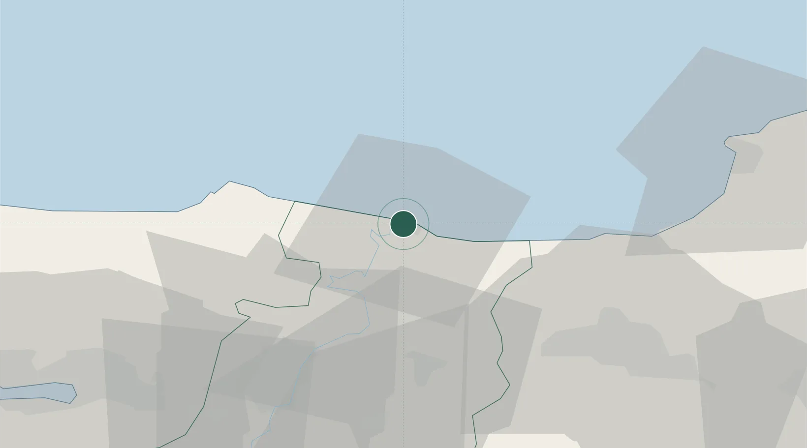
Port of Karasu
41.1194°, 30.6728°
1
Transport functions
1
Container terminals
Transport Functions
Port
Hub Profile
Region
54
Logistics facilities
1
Container terminals
1
Location
Nearby Logistics Neighbours
DatabookThe Record of Consolidated Knowledge
Türkiye beyond logistics?