Transport Functions
Port
Hub Profile
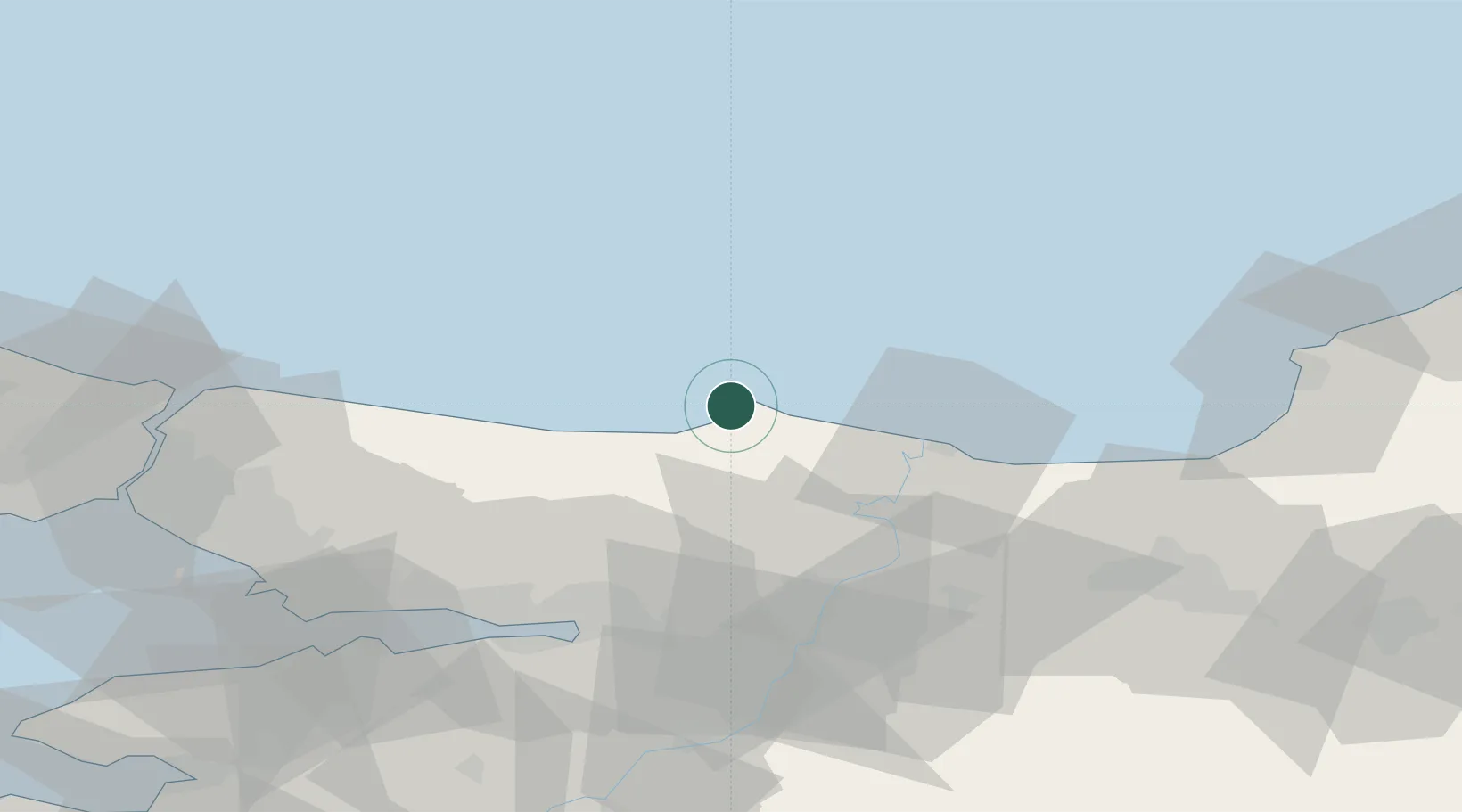
Place type
Populated place
Region
Kocaeli
Population
1,520
Time zone
Europe/Istanbul
Elevation
26 m
Location
Nearby Logistics Neighbours
Cities
- 1Port of Karasu37 km
- 2Karasu47 km
- 3Yenikoy51 km
- 4Uzuntarla53 km
- 5Sile55 km
Ports
- 1Izmit56 km
- 2Derince Burnu62 km
- 3Golcuk Burnu63 km
- 4Yarimca64 km
- 5Gebze76 km
Airports
Trade Zones
DatabookThe Record of Consolidated Knowledge
Türkiye beyond logistics?