Transport Functions
Multimodal
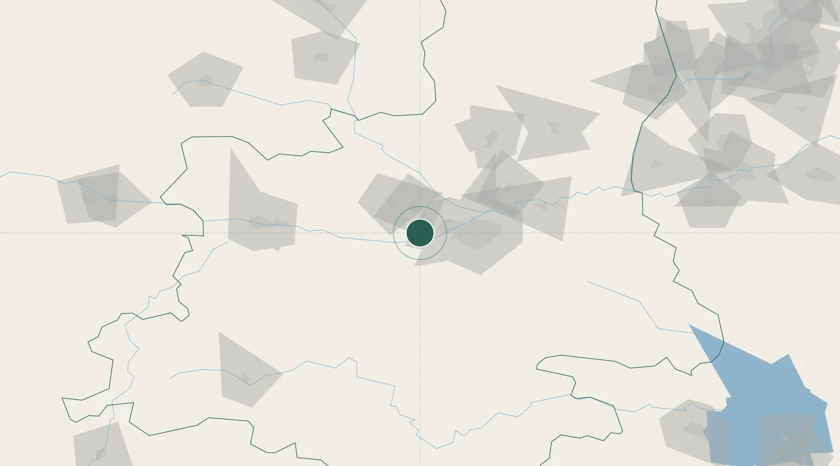
Hub Profile
Place type
Populated place
Region
Shaanxi
Time zone
Asia/Shanghai
Elevation
751 m
Location
Nearby Logistics Neighbours
Ports
- 1Hankow682 km
- 2Tianjin Xin Gang983 km
- 3Nanjing986 km
- 4Lanshan999 km
- 5Lianyungang1006 km
Airports
- 1Xi'an Air Base18 km
- 2Wugong Air Base20 km
- 3Xi'an Xianyang International Airport31 km
- 4Xi'an Xiguan Airport59 km
- 5Yanliang Air Base80 km
DatabookThe Record of Consolidated Knowledge
China beyond logistics?