Diversified Zone · China
Kang County Industrial Concentration Zone Active
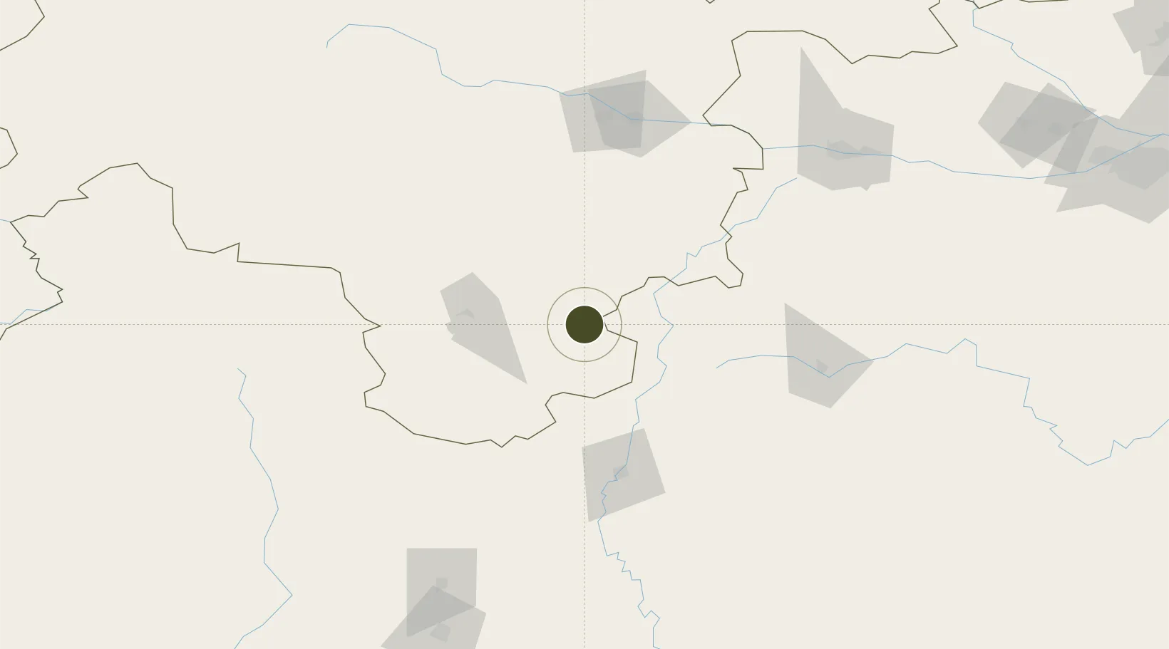
33.3291°, 105.6092°
33 ha
Zone area
873.1 km
Nearest port
53.9 km
Nearest airport
Gateway access
Zone profile
Zone type
Diversified Zone
Region
Gansu
Status
Active
Management
Public
Operator
Industrial Concentration District Management Committee of Kangxian County, Gansu Province
Legal framework
The Development Plan of Kangxian Industrial Concentrated Area (2014-2020) was approved by The Development and Reform Commission of Gansu Province, which agreed in principle to the spatial structure layout of "one axis and four areas" and the industrial or
Location
Nearby Logistics Neighbours
Ports
- 1Hankow873 km
- 2Tianjin Xin Gang1262 km
- 3Fang-Cheng1315 km
- 4Qinzhou1322 km
- 5Guangzhou1358 km
Airports
- 1Longnan Chengzhou Airport54 km
- 2Guangyuan Panlong Airport105 km
- 3Tianshui Maijishan Airport139 km
- 4Hanzhong Chenggu Airport150 km
- 5Jiuzhai Huanglong Airport187 km
DatabookThe Record of Consolidated Knowledge
China beyond logistics?