Medium airport · China

Guangyuan Panlong AirportZUGU
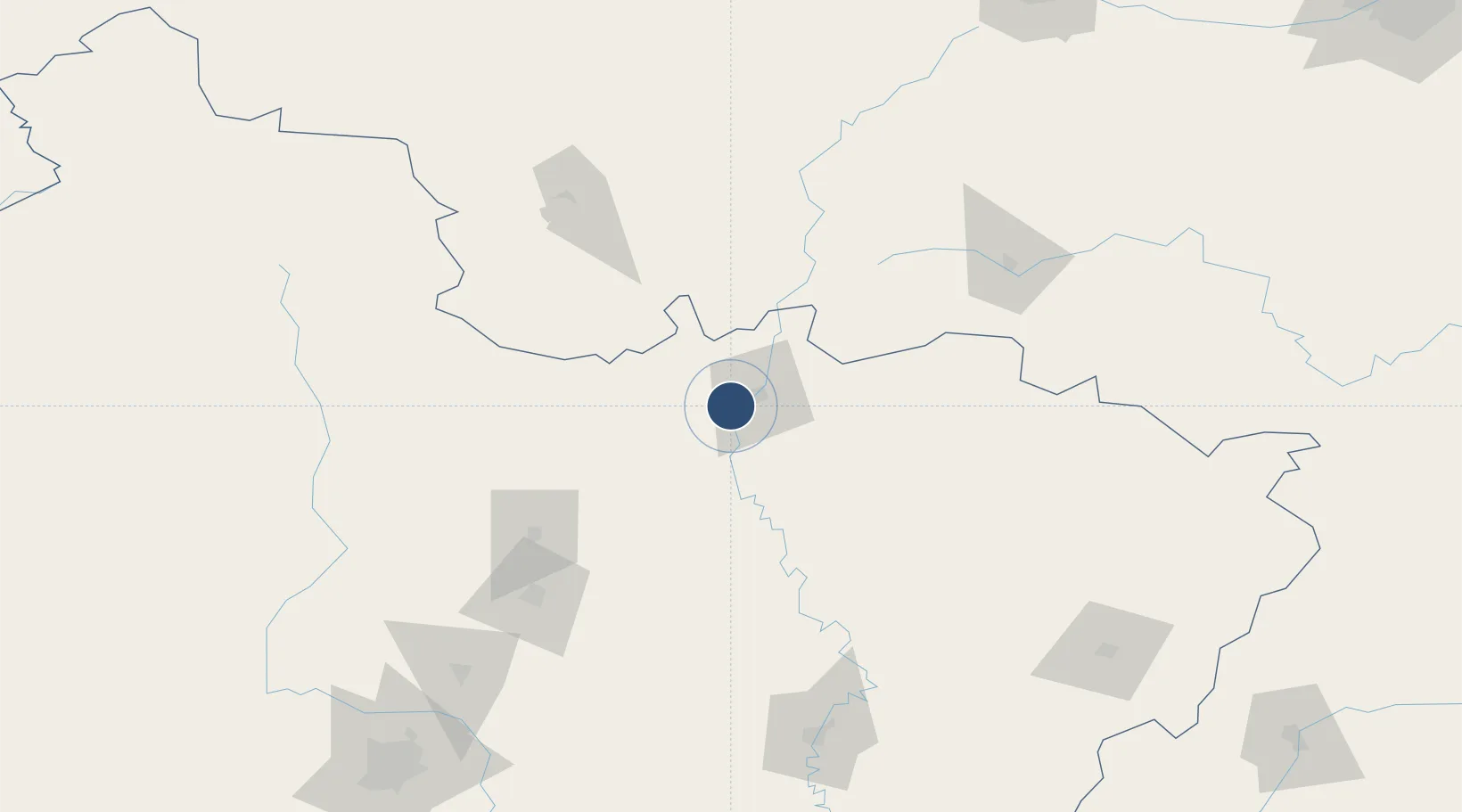
32.3903°, 105.6946°
8,202 ft
Longest runway
1
Runways

Runway & Layout

Guangyuan Panlong Airport runway & taxiway layout
Runway & taxiway layout — OpenStreetMap (ODbL) / OurAirports

Runways · 1

RunwayDimensions SurfaceTrue headingLit
08/26 8,202 × —ft
OurAirports

Airport Specifications

IATA code
GYS
OurAirports
ICAO code
ZUGU
OurAirports
Airport class
Medium airport
OurAirports
Scheduled service
Yes
OurAirports
Served city
Guangyuan (Lizhou)
OurAirports

Location

Location of ZUGU
Natural Earth 10m (public domain) · Sichuan · ZUGU · 32.39, 105.69GoogleOSMYandex

Nearby Logistics Neighbours

Airports
  1. 1Langzhong Gucheng Airport104 km
  2. 2Bazhong Enyang Airport115 km
  3. 3Mianyang Nanjiao Airport140 km
  4. 4Longnan Chengzhou Airport156 km
  5. 5Hanzhong Chenggu Airport164 km
Nearest neighbours — logibook spatial index (haversine) over the source coordinates
Cities
  1. 1Mianyang136 km
  2. 2Deyang186 km
  3. 3Suining207 km
  4. 4Tianshui242 km
  5. 5Baoji258 km
Nearest neighbours — logibook spatial index (haversine) over the source coordinates
Ports
  1. 1Hankow839 km
  2. 2Fang-Cheng1212 km
  3. 3Qinzhou1219 km
  4. 4Beihai1258 km
  5. 5Guangzhou1269 km
Nearest neighbours — logibook spatial index (haversine) over the source coordinates
Trade Zones
  1. 1Qingchuan Economic Development Zone38 km
  2. 2Wangcang Economic Development Zone60 km
  3. 3Langzhong Economic Development Zone97 km
  4. 4Zitong Economic Development Zone99 km
  5. 5Kang County Industrial Concentration Zone105 km
Nearest neighbours — logibook spatial index (haversine) over the source coordinates
DatabookThe Record of Consolidated Knowledge
China beyond logistics?
Browse databook

All Sources

AirportsOurAirports
Public domain
Portsthe NGA World Port Index
Public domain (US gov)
LocationsUN/LOCODE
UN/LOCODE — free
Trade Zonesthe World Bank SEZ database
CC BY 4.0
Trade ZonesOpen Zone Map
CC BY
InfrastructureOpenStreetMap
ODbL 1.0
← China airports