UN/LOCODE hub · China
CNMYG

Mianyang

31.5000°, 104.7000°
1,550,000
Population
1
Transport functions

Transport Functions

Multimodal
UN/LOCODE

Hub Profile

Place type
District seat
GeoNames
Region
Sichuan
GeoNames
Population
1,550,000
GeoNames
Time zone
Asia/Shanghai
GeoNames
Elevation
471 m
GeoNames

Location

Location of CNMYG
Natural Earth 10m (public domain) · Sichuan · CNMYG · 31.50, 104.70GoogleOSMYandex

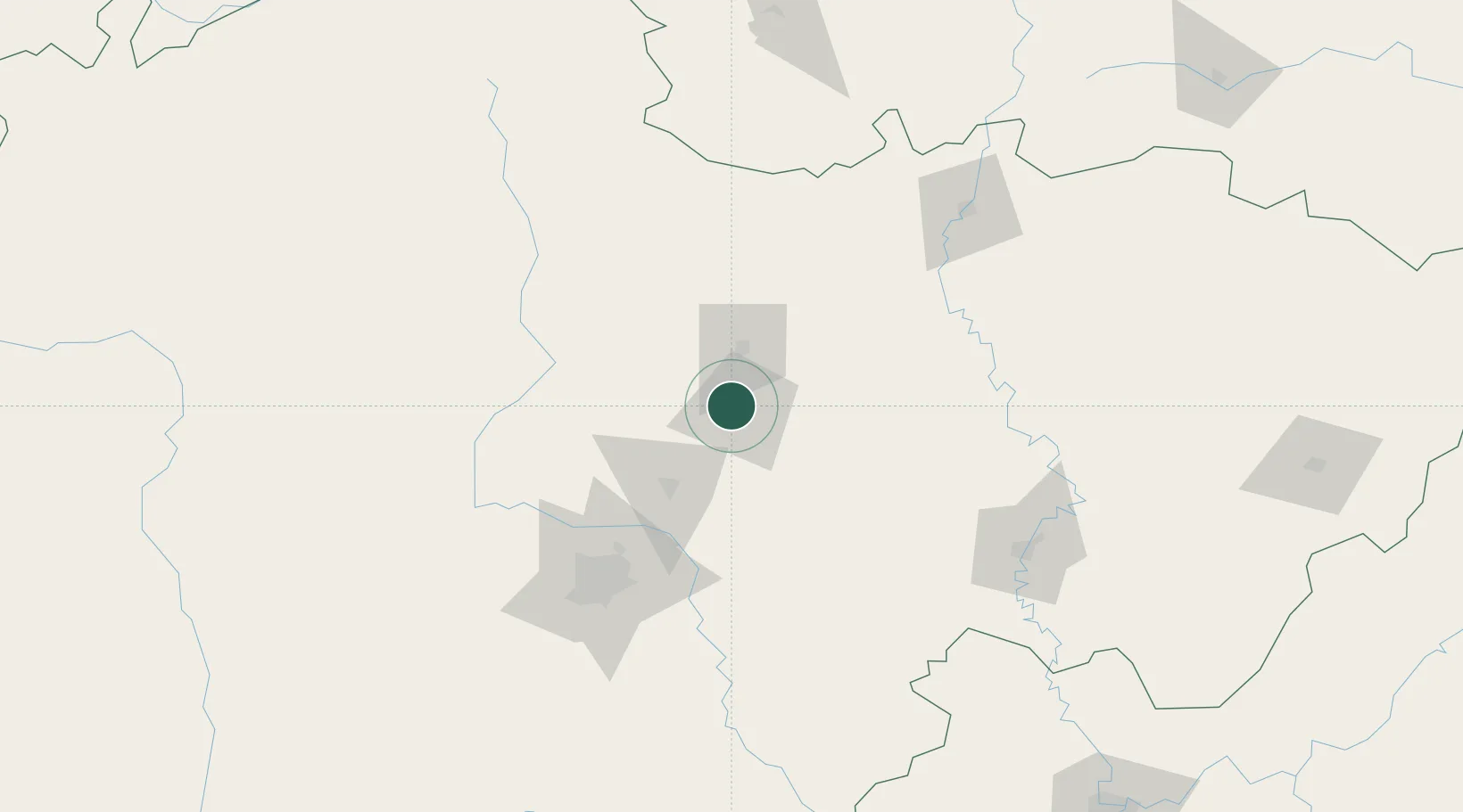
Nearby Logistics Neighbours

Cities
  1. 1Deyang50 km
  2. 2Suining134 km
  3. 3Tianfu, Chengdu136 km
  4. 4Chengdu138 km
  5. 5Ziyang154 km
Nearest neighbours — logibook spatial index (haversine) over the source coordinates
Ports
  1. 1Hankow918 km
  2. 2Fang-Cheng1143 km
  3. 3Qinzhou1152 km
  4. 4Hai Phong1193 km
  5. 5Cam Pha1194 km
Nearest neighbours — logibook spatial index (haversine) over the source coordinates
Airports
  1. 1Mianyang Nanjiao Airport9 km
  2. 2Guanghan Airport71 km
  3. 3Chengdu Huaizhou Airport93 km
  4. 4Chengdu Huangtianba Air Base114 km
  5. 5Langzhong Gucheng Airport127 km
Nearest neighbours — logibook spatial index (haversine) over the source coordinates
Trade Zones
  1. 1Luojiang Economic Development Zone20 km
  2. 2Zitong Economic Development Zone46 km
  3. 3Deyang-Aba Ecological Economic Industrial Park49 km
  4. 4Mianzhu Economic Development Zone49 km
  5. 5Liangshan Economic Development Zone50 km
Nearest neighbours — logibook spatial index (haversine) over the source coordinates
DatabookThe Record of Consolidated Knowledge
China beyond logistics?
Browse databook

All Sources

LocationsUN/LOCODE
UN/LOCODE — free
LocationsGeoNames
CC BY 4.0
Portsthe NGA World Port Index
Public domain (US gov)
AirportsOurAirports
Public domain
Trade Zonesthe World Bank SEZ database
CC BY 4.0
Trade ZonesOpen Zone Map
CC BY
← China locations