Specialized Zone · Philippines

ALDP E-PARK Under Development
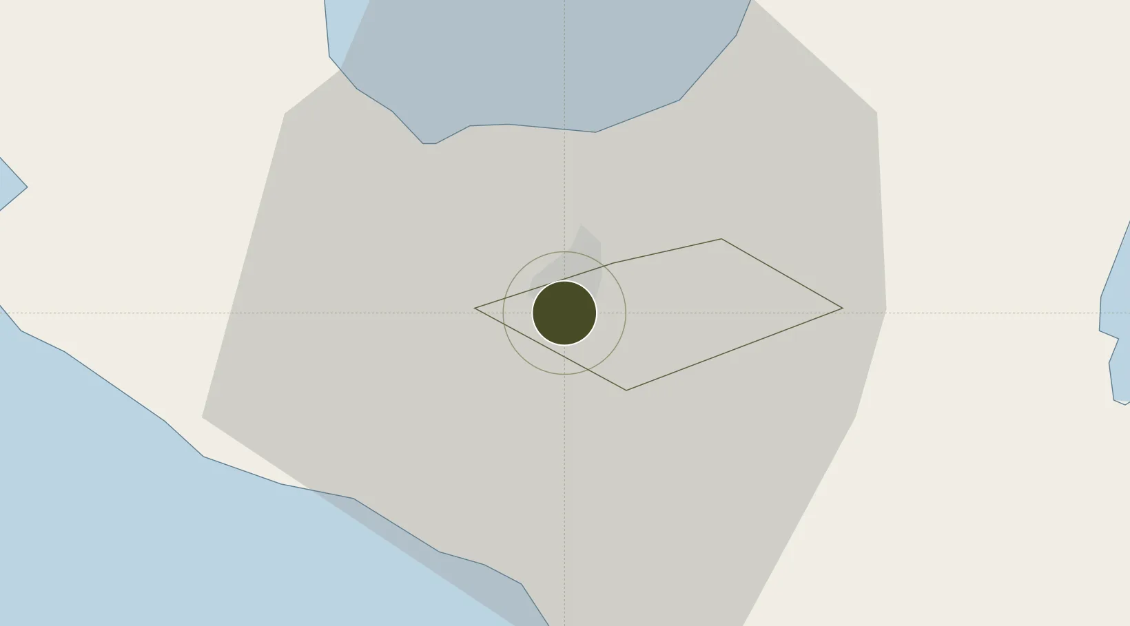
13.6170°, 123.1957°
2 ha
Zone area
64.5 km
Nearest port
8.8 km
Nearest airport

Gateway access

Nearest neighbours — logibook spatial index (haversine) over the source coordinates

Zone profile

Zone type
Specialized Zone
Open Zone Map
Specialization
IT
Open Zone Map
Region
Naga
Open Zone Map
Status
Under Development
Open Zone Map
Management
Private
Open Zone Map
Operator
ALDP Land & Construction Corporation
Open Zone Map
Legal framework
Special Economic Zone Act (Republic Act No. 7916) (as amended by Republic Act No. 8748)
Open Zone Map

Location

Location of ozm-3731
Natural Earth 10m (public domain) · Naga · ozm-3731 · 13.62, 123.20GoogleOSMYandex

Nearby Logistics Neighbours

Ports
  1. 1Tabaco65 km
  2. 2Legazpi Port79 km
  3. 3Jose Panganiban93 km
  4. 4Hondagua110 km
  5. 5Sorsogon113 km
Nearest neighbours — logibook spatial index (haversine) over the source coordinates
Airports
  1. 1Naga Airport9 km
  2. 2Daet Airport62 km
  3. 3Bicol International Airport77 km
  4. 4Virac Airport109 km
  5. 5Moises R. Espinosa Airport147 km
Nearest neighbours — logibook spatial index (haversine) over the source coordinates
Cities
  1. 1Naga, Luzon3 km
  2. 2Tabaco/Legaspi65 km
  3. 3Legaspi Apt, Luzon81 km
  4. 4Gigmoto, Catanduanes129 km
  5. 5Changtu136 km
Nearest neighbours — logibook spatial index (haversine) over the source coordinates
Trade Zones
  1. 1Robinsons Cybergate Naga0 km
  2. 2Bicolandia Hills Agro-Industrial Economic Zone2 km
  3. 3Camarines Sur IT Park6 km
  4. 4Camarines Sur Agro-Industrial Economic Zone6 km
  5. 5Naga Agro-Industrial Center8 km
Nearest neighbours — logibook spatial index (haversine) over the source coordinates
DatabookThe Record of Consolidated Knowledge
Philippines beyond logistics?
Browse databook

All Sources

Trade ZonesOpen Zone Map
CC BY
Portsthe NGA World Port Index
Public domain (US gov)
AirportsOurAirports
Public domain
LocationsUN/LOCODE
UN/LOCODE — free
← Philippines trade zones