Specialized Zone · Philippines

Camarines Sur Agro-Industrial Economic Zone Under Development
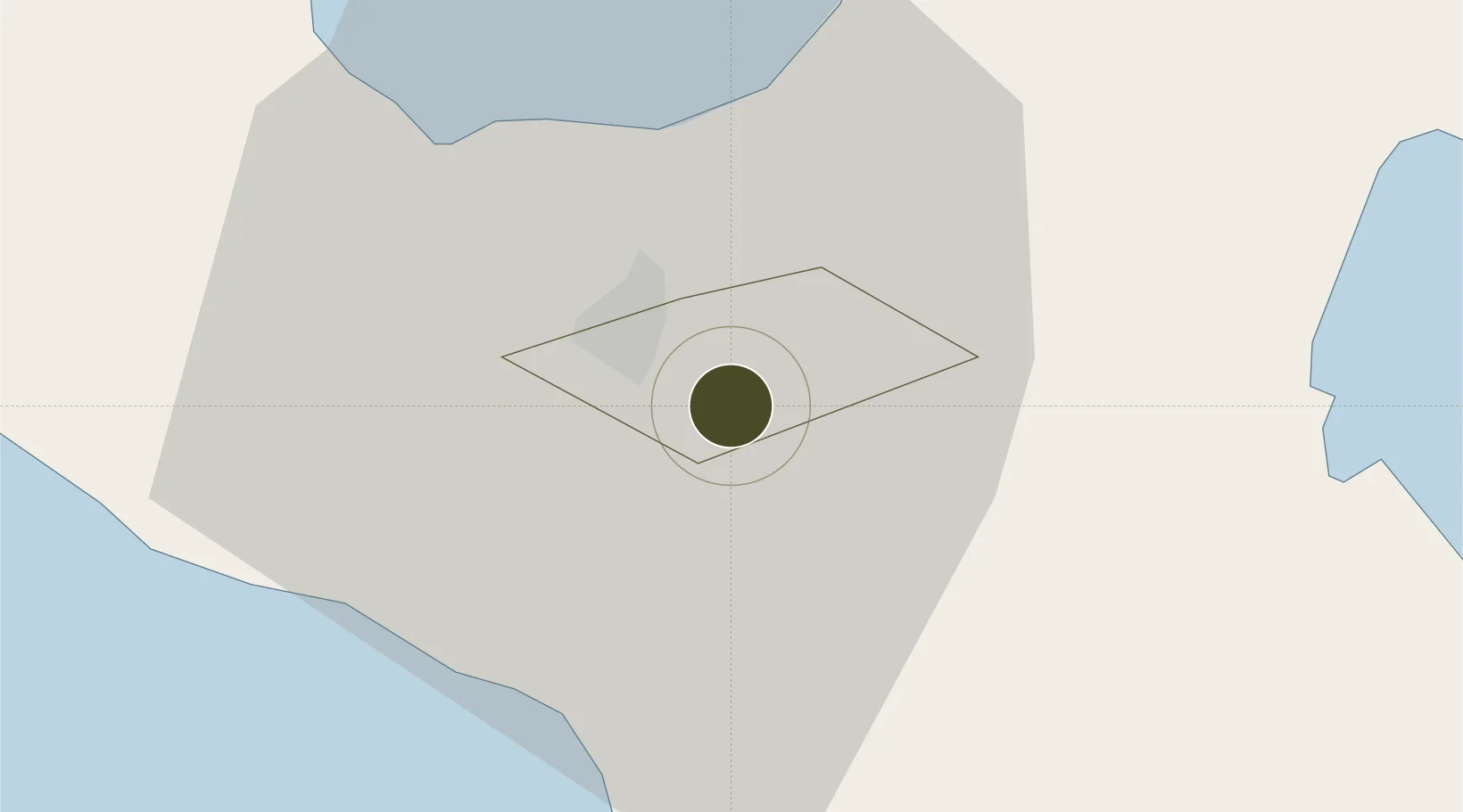
13.5965°, 123.2497°
3,843 ha
Zone area
58.2 km
Nearest port
2.5 km
Nearest airport

Gateway access

Nearest neighbours — logibook spatial index (haversine) over the source coordinates

Zone profile

Zone type
Specialized Zone
Open Zone Map
Specialization
Agriculture
Open Zone Map
Region
Naga
Open Zone Map
Status
Under Development
Open Zone Map
Management
Public
Open Zone Map
Operator
Provincial Government of Camarines Sur
Open Zone Map
Legal framework
Special Economic Zone Act (Republic Act No. 7916) (as amended by Republic Act No. 8748)
Open Zone Map

Location

Location of ozm-3364
Natural Earth 10m (public domain) · Naga · ozm-3364 · 13.60, 123.25GoogleOSMYandex

Nearby Logistics Neighbours

Ports
  1. 1Tabaco58 km
  2. 2Legazpi Port73 km
  3. 3Jose Panganiban98 km
  4. 4Sorsogon107 km
  5. 5Virac108 km
Nearest neighbours — logibook spatial index (haversine) over the source coordinates
Airports
  1. 1Naga Airport3 km
  2. 2Daet Airport66 km
  3. 3Bicol International Airport71 km
  4. 4Virac Airport103 km
  5. 5Moises R. Espinosa Airport143 km
Nearest neighbours — logibook spatial index (haversine) over the source coordinates
Cities
  1. 1Naga, Luzon9 km
  2. 2Tabaco/Legaspi59 km
  3. 3Legaspi Apt, Luzon75 km
  4. 4Gigmoto, Catanduanes124 km
  5. 5Changtu130 km
Nearest neighbours — logibook spatial index (haversine) over the source coordinates
Trade Zones
  1. 1Camarines Sur IT Park1 km
  2. 2Cam Sur Food Terminal2 km
  3. 3CBSUA Agri-Techno Science Hub Special Economic Zone2 km
  4. 4ALDP E-PARK6 km
  5. 5Robinsons Cybergate Naga7 km
Nearest neighbours — logibook spatial index (haversine) over the source coordinates
DatabookThe Record of Consolidated Knowledge
Philippines beyond logistics?
Browse databook

All Sources

Trade ZonesOpen Zone Map
CC BY
Portsthe NGA World Port Index
Public domain (US gov)
AirportsOurAirports
Public domain
LocationsUN/LOCODE
UN/LOCODE — free
← Philippines trade zones