Specialized Zone · Philippines

Agustin 1 Building Under Development
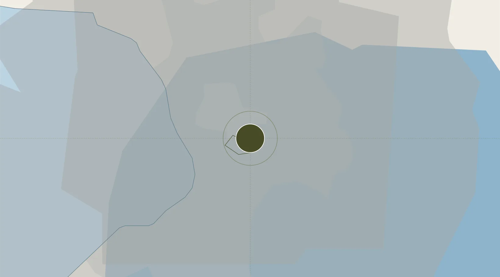
14.5848°, 121.0613°
0 ha
Zone area
10.2 km
Nearest port
9.6 km
Nearest airport

Gateway access

Nearest neighbours — logibook spatial index (haversine) over the source coordinates

Zone profile

Zone type
Specialized Zone
Open Zone Map
Specialization
IT
Open Zone Map
Region
Mandaluyong City
Open Zone Map
Status
Under Development
Open Zone Map
Management
Private
Open Zone Map
Operator
First Optima Realty Corporation
Open Zone Map
Legal framework
Special Economic Zone Act (Republic Act No. 7916) (as amended by Republic Act No. 8748)
Open Zone Map

Location

Location of ozm-3416
Natural Earth 10m (public domain) · Mandaluyong City · ozm-3416 · 14.58, 121.06GoogleOSMYandex

Nearby Logistics Neighbours

Ports
  1. 1Manila10 km
  2. 2Mariveles65 km
  3. 3Nasugbu74 km
  4. 4Subic Bay89 km
  5. 5Batangas City93 km
Nearest neighbours — logibook spatial index (haversine) over the source coordinates
Airports
  1. 1Ninoy Aquino International Airport10 km
  2. 2Danilo Atienza Air Base20 km
  3. 3Clark International Airport / Clark Air Base86 km
  4. 4Subic Bay International Airport / Naval Air Station Cubi Point88 km
  5. 5Lubang Airport131 km
Nearest neighbours — logibook spatial index (haversine) over the source coordinates
Cities
  1. 1Libis2 km
  2. 2Muntinlupa City4 km
  3. 3San Juan6 km
  4. 4Quezon City6 km
  5. 5Makati City6 km
Nearest neighbours — logibook spatial index (haversine) over the source coordinates
Trade Zones
  1. 1Orient Square0 km
  2. 2The Taipan Place0 km
  3. 3Wynsum Corporate Plaza IT Center0 km
  4. 4Hanston Building0 km
  5. 5The Discovery Center0 km
Nearest neighbours — logibook spatial index (haversine) over the source coordinates
DatabookThe Record of Consolidated Knowledge
Philippines beyond logistics?
Browse databook

All Sources

Trade ZonesOpen Zone Map
CC BY
Portsthe NGA World Port Index
Public domain (US gov)
AirportsOurAirports
Public domain
LocationsUN/LOCODE
UN/LOCODE — free
← Philippines trade zones