Specialized Zone · Philippines

Westar Building Active
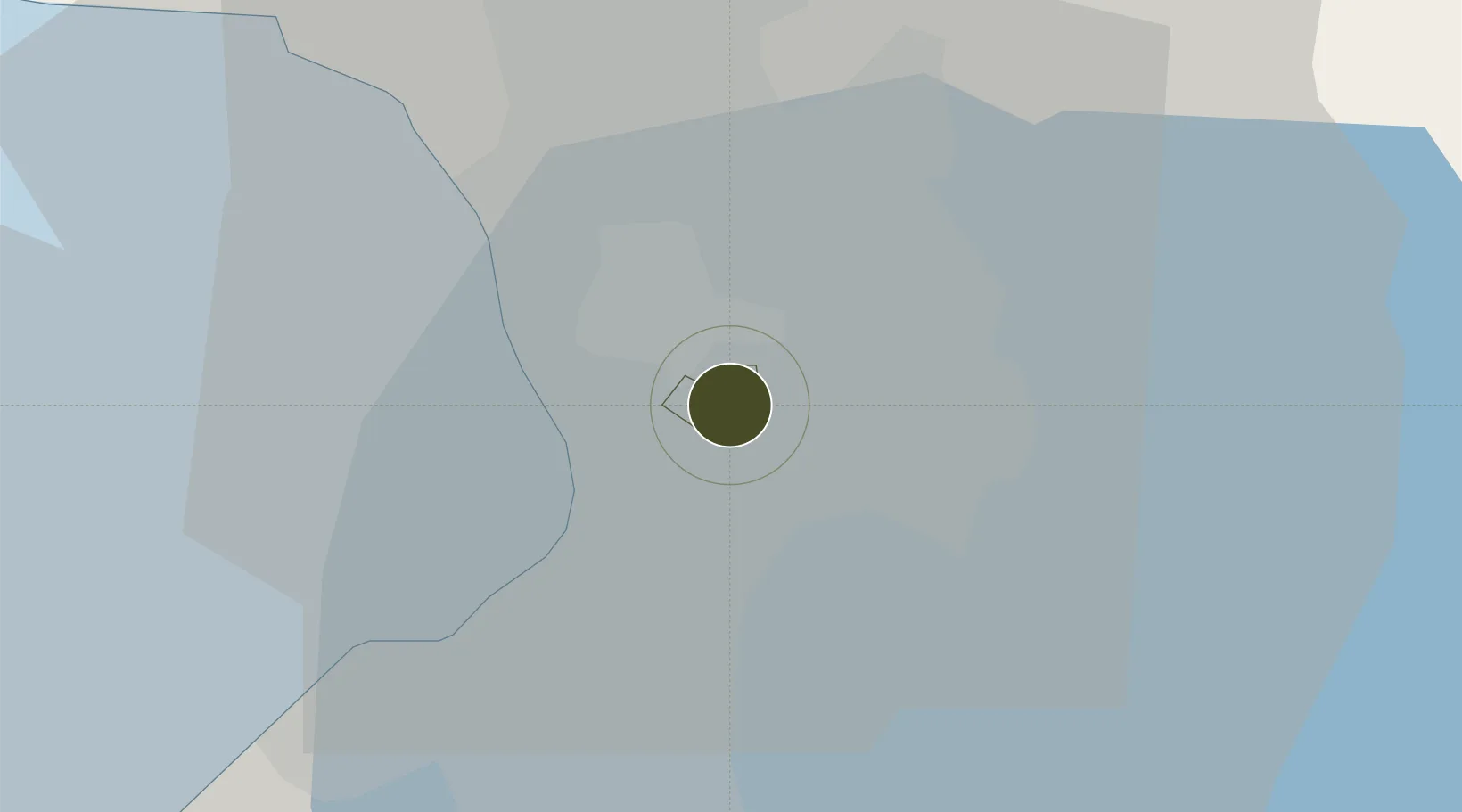
14.5749°, 121.0585°
0 ha
Zone area
9.9 km
Nearest port
8.5 km
Nearest airport

Gateway access

Nearest neighbours — logibook spatial index (haversine) over the source coordinates

Zone profile

Zone type
Specialized Zone
Open Zone Map
Specialization
IT
Open Zone Map
Region
Mandaluyong City
Open Zone Map
Status
Active
Open Zone Map
Management
Private
Open Zone Map
Operator
Key West Realty, Inc.
Open Zone Map
Legal framework
Special Economic Zone Act (Republic Act No. 7916) (as amended by Republic Act No. 8748)
Open Zone Map

Location

Location of ozm-3414
Natural Earth 10m (public domain) · Mandaluyong City · ozm-3414 · 14.57, 121.06GoogleOSMYandex

Nearby Logistics Neighbours

Ports
  1. 1Manila10 km
  2. 2Mariveles64 km
  3. 3Nasugbu73 km
  4. 4Subic Bay89 km
  5. 5Batangas City92 km
Nearest neighbours — logibook spatial index (haversine) over the source coordinates
Airports
  1. 1Ninoy Aquino International Airport9 km
  2. 2Danilo Atienza Air Base19 km
  3. 3Clark International Airport / Clark Air Base87 km
  4. 4Subic Bay International Airport / Naval Air Station Cubi Point88 km
  5. 5Lubang Airport130 km
Nearest neighbours — logibook spatial index (haversine) over the source coordinates
Cities
  1. 1Libis3 km
  2. 2Muntinlupa City5 km
  3. 3Makati City6 km
  4. 4Santa Rosa6 km
  5. 5Philippines6 km
Nearest neighbours — logibook spatial index (haversine) over the source coordinates
Trade Zones
  1. 1One San Miguel Avenue Condominium0 km
  2. 2Rockwell Business Center Sheridan0 km
  3. 3Quantum1 km
  4. 4EDSA Central IT Park1 km
  5. 5Hanston Square1 km
Nearest neighbours — logibook spatial index (haversine) over the source coordinates
DatabookThe Record of Consolidated Knowledge
Philippines beyond logistics?
Browse databook

All Sources

Trade ZonesOpen Zone Map
CC BY
Portsthe NGA World Port Index
Public domain (US gov)
AirportsOurAirports
Public domain
LocationsUN/LOCODE
UN/LOCODE — free
← Philippines trade zones