Specialized Zone · Philippines

Jim Cyber Hub Under Development
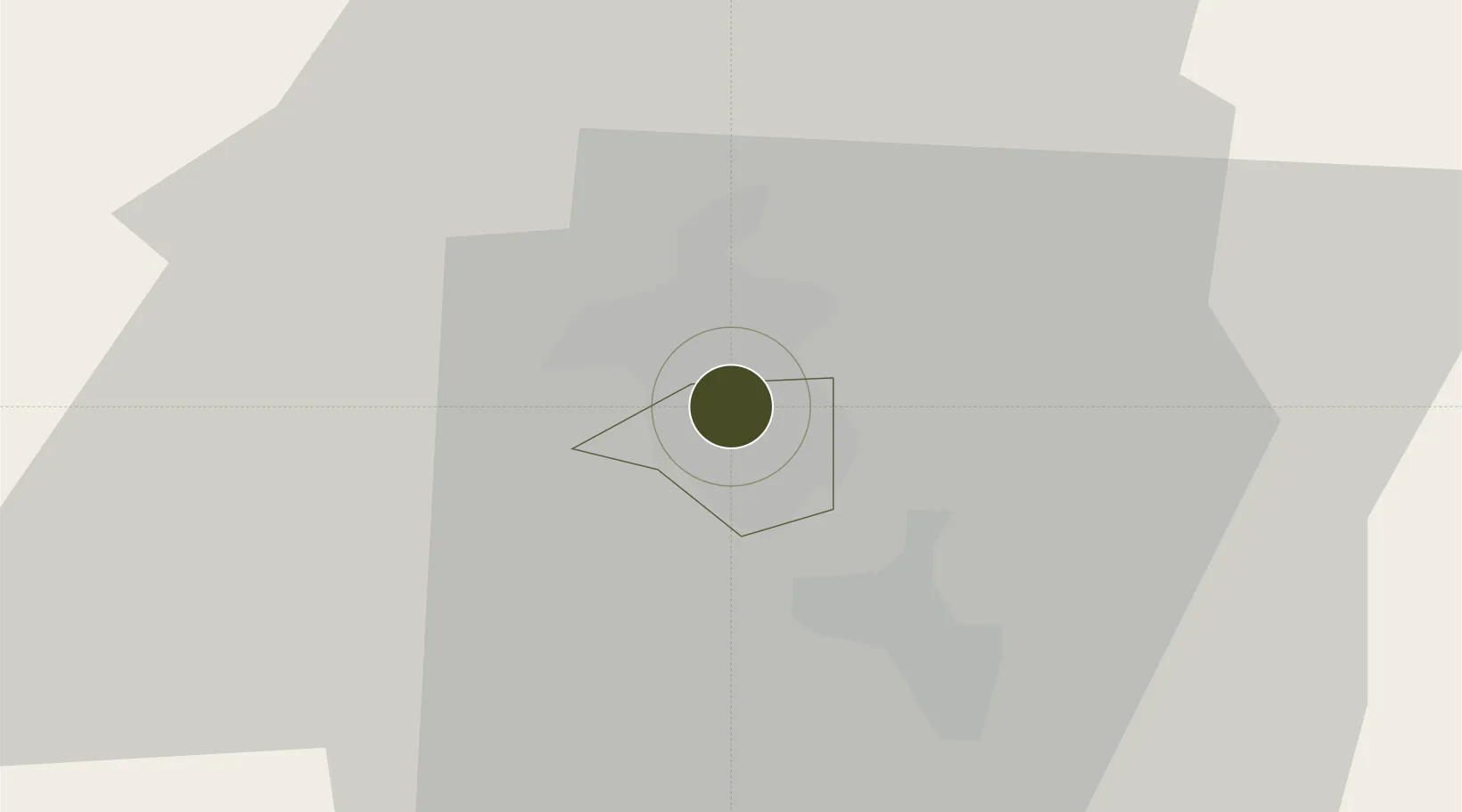
15.1652°, 120.5881°
0 ha
Zone area
53.3 km
Nearest port
3.8 km
Nearest airport

Gateway access

Nearest neighbours — logibook spatial index (haversine) over the source coordinates

Zone profile

Zone type
Specialized Zone
Open Zone Map
Specialization
IT
Open Zone Map
Region
Angeles
Open Zone Map
Status
Under Development
Open Zone Map
Management
Private
Open Zone Map
Operator
Pila Realty and Development Corporation
Open Zone Map
Legal framework
Special Economic Zone Act (Republic Act No. 7916) (as amended by Republic Act No. 8748)
Open Zone Map

Location

Location of ozm-3378
Natural Earth 10m (public domain) · Angeles · ozm-3378 · 15.17, 120.59GoogleOSMYandex

Nearby Logistics Neighbours

Ports
  1. 1Subic Bay53 km
  2. 2Manila76 km
  3. 3Masinloc81 km
  4. 4Mariveles82 km
  5. 5Nasugbu120 km
Nearest neighbours — logibook spatial index (haversine) over the source coordinates
Cities
  1. 1Clark Field (Angeles)4 km
  2. 2Potrero15 km
  3. 3Bulacan47 km
  4. 4Plaridel/Ozamis47 km
  5. 5Subic Bay53 km
Nearest neighbours — logibook spatial index (haversine) over the source coordinates
Trade Zones
  1. 1SM City Clark IT Park1 km
  2. 2Metro Angeles IT Center1 km
  3. 3Pampanga Economic Zone3 km
  4. 4Skytech IT Park (Mabalacat)3 km
  5. 5eNTEC Building3 km
Nearest neighbours — logibook spatial index (haversine) over the source coordinates
DatabookThe Record of Consolidated Knowledge
Philippines beyond logistics?
Browse databook

All Sources

Trade ZonesOpen Zone Map
CC BY
Portsthe NGA World Port Index
Public domain (US gov)
AirportsOurAirports
Public domain
LocationsUN/LOCODE
UN/LOCODE — free
← Philippines trade zones