Free Trade Zone · Philippines
Fishermall Active
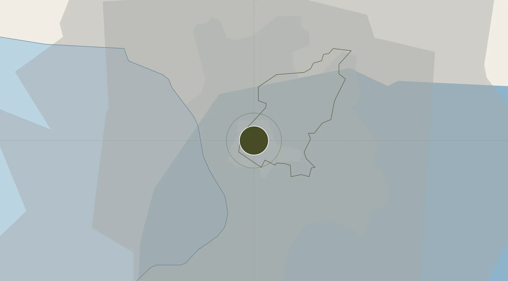
14.6339°, 121.0199°
2 ha
Zone area
8.0 km
Nearest port
13.9 km
Nearest airport
Gateway access
Zone profile
Zone type
Free Trade Zone
Region
Quezon City
Status
Active
Management
Private
Operator
Mallers Investments Corporation
Legal framework
Special Economic Zone Act (Republic Act No. 7916) (as amended by Republic Act No. 8748)
Location
Nearby Logistics Neighbours
Ports
- 1Manila8 km
- 2Mariveles62 km
- 3Nasugbu75 km
- 4Subic Bay83 km
- 5Batangas City98 km
Airports
Cities
- 1San Juan1 km
- 2Quezon City1 km
- 3Muntinlupa City4 km
- 4Caloocan City5 km
- 5Philippines6 km
Trade Zones
DatabookThe Record of Consolidated Knowledge
Philippines beyond logistics?