Diversified Zone · China

Anhua Economic Development Zone Active
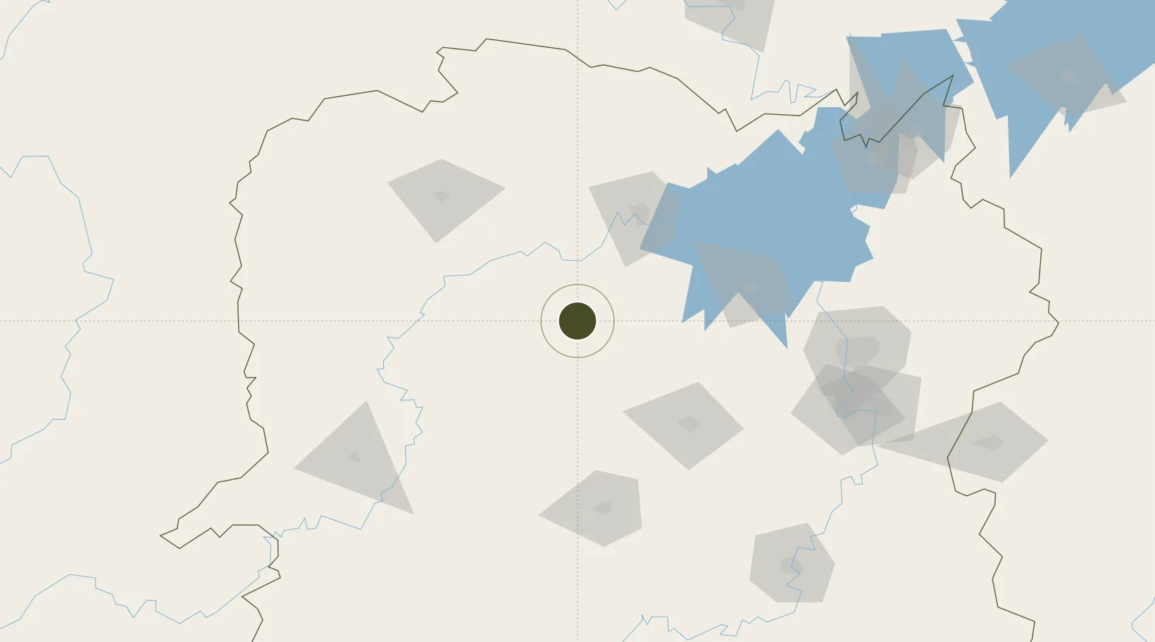
28.3884°, 111.3172°
100 ha
Zone area
376.8 km
Nearest port
66.9 km
Nearest airport

Gateway access

Nearest neighbours — logibook spatial index (haversine) over the source coordinates

Zone profile

Zone type
Diversified Zone
Open Zone Map
Region
Hunan
Open Zone Map
Status
Active
Open Zone Map
Management
Public
Open Zone Map
Operator
Management Committee of Anhua Economic Development Zone
Open Zone Map
Legal framework
It was founded in 1994
Open Zone Map

Location

Location of ozm-326
Natural Earth 10m (public domain) · Hunan · ozm-326 · 28.39, 111.32GoogleOSMYandex

Nearby Logistics Neighbours

Ports
  1. 1Hankow377 km
  2. 2Guangzhou617 km
  3. 3Huangpu626 km
  4. 4Huangpuxingang633 km
  5. 5Shekou706 km
Nearest neighbours — logibook spatial index (haversine) over the source coordinates
Airports
  1. 1Changde Taohuayuan Airport67 km
  2. 2Zhangjiajie Hehua International Airport117 km
  3. 3Ningxiang Airport134 km
  4. 4Shaodong Airport134 km
  5. 5Changsha Datuopu Airport / Changsha Air Base165 km
Nearest neighbours — logibook spatial index (haversine) over the source coordinates
Cities
  1. 1Changde77 km
  2. 2Zhangjiajie117 km
  3. 3Shaoshan127 km
  4. 4Jishou157 km
  5. 5Huaihua157 km
Nearest neighbours — logibook spatial index (haversine) over the source coordinates
Trade Zones
  1. 1Hunan Xinhua Economic Development Zone72 km
  2. 2Hanshou High-tech Industrial Park76 km
  3. 3Taojiang Economic Development Zone83 km
  4. 4Hunan Lengshuijiang Economic Development Zone83 km
  5. 5Yuanling Industrial Concentration Zone86 km
Nearest neighbours — logibook spatial index (haversine) over the source coordinates
DatabookThe Record of Consolidated Knowledge
China beyond logistics?
Browse databook

All Sources

Trade ZonesOpen Zone Map
CC BY
Portsthe NGA World Port Index
Public domain (US gov)
AirportsOurAirports
Public domain
LocationsUN/LOCODE
UN/LOCODE — free
← China trade zones