Export Processing Zone · China

Hunan Xinhua Economic Development Zone Active

27.7435°, 111.3410°
600 ha
Zone area
425.8 km
Nearest port
66.5 km
Nearest airport

Gateway access

Nearest neighbours — logibook spatial index (haversine) over the source coordinates

Zone profile

Zone type
Export Processing Zone
Open Zone Map
Region
Hunan
Open Zone Map
Status
Active
Open Zone Map
Management
Public
Open Zone Map
Operator
Management Committee of Hunan Xinhua Economic Development Zone
Open Zone Map
Legal framework
Established in 1992
Open Zone Map

Location

Location of ozm-1182
Natural Earth 10m (public domain) · Hunan · ozm-1182 · 27.74, 111.34GoogleOSMYandex

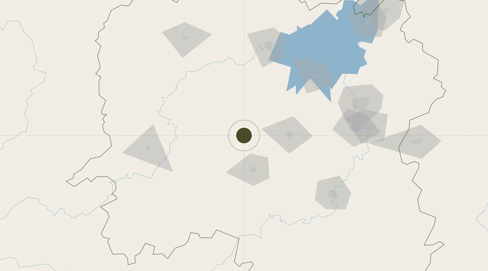
Nearby Logistics Neighbours

Ports
  1. 1Hankow426 km
  2. 2Guangzhou548 km
  3. 3Huangpu559 km
  4. 4Huangpuxingang565 km
  5. 5Shekou639 km
Nearest neighbours — logibook spatial index (haversine) over the source coordinates
Airports
  1. 1Shaodong Airport67 km
  2. 2Shaoyang Wugang Airport125 km
  3. 3Ningxiang Airport127 km
  4. 4Changde Taohuayuan Airport134 km
  5. 5Yongzhou Lingling Airport159 km
Nearest neighbours — logibook spatial index (haversine) over the source coordinates
Cities
  1. 1Shaoshan114 km
  2. 2Huaihua132 km
  3. 3Changde144 km
  4. 4Xiangtan154 km
  5. 5Hengyang158 km
Nearest neighbours — logibook spatial index (haversine) over the source coordinates
DatabookThe Record of Consolidated Knowledge
China beyond logistics?
Browse databook

All Sources

Trade ZonesOpen Zone Map
CC BY
Portsthe NGA World Port Index
Public domain (US gov)
AirportsOurAirports
Public domain
LocationsUN/LOCODE
UN/LOCODE — free
← China trade zones