Diversified Zone · Philippines

RLC Special Economic Zone Under Development
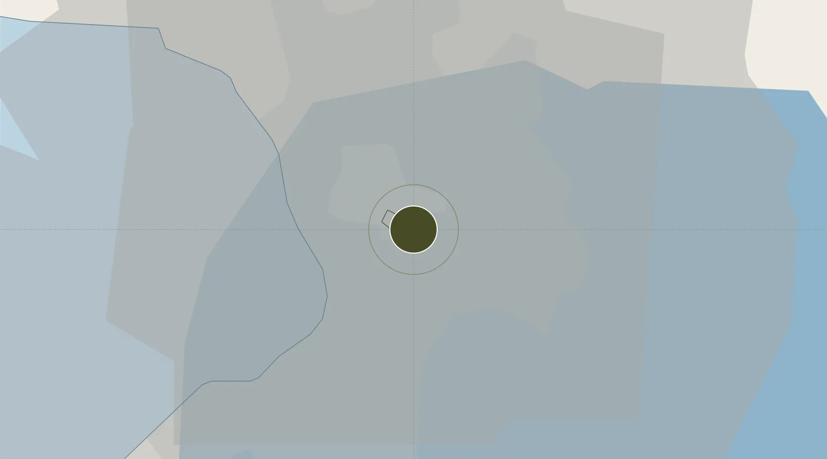
14.5905°, 121.0570°
87 ha
Zone area
9.8 km
Nearest port
9.9 km
Nearest airport

Gateway access

Nearest neighbours — logibook spatial index (haversine) over the source coordinates

Zone profile

Zone type
Diversified Zone
Open Zone Map
Region
San Juan
Open Zone Map
Status
Under Development
Open Zone Map
Management
Private
Open Zone Map
Operator
Robinsons Realty & Mgt. Corp.
Open Zone Map
Legal framework
Special Economic Zone Act (Republic Act No. 7916) (as amended by Republic Act No. 8748)
Open Zone Map

Location

Location of ozm-3172
Natural Earth 10m (public domain) · San Juan · ozm-3172 · 14.59, 121.06GoogleOSMYandex

Nearby Logistics Neighbours

Ports
  1. 1Manila10 km
  2. 2Mariveles64 km
  3. 3Nasugbu74 km
  4. 4Subic Bay88 km
  5. 5Batangas City94 km
Nearest neighbours — logibook spatial index (haversine) over the source coordinates
Airports
  1. 1Ninoy Aquino International Airport10 km
  2. 2Danilo Atienza Air Base20 km
  3. 3Clark International Airport / Clark Air Base85 km
  4. 4Subic Bay International Airport / Naval Air Station Cubi Point88 km
  5. 5Lubang Airport131 km
Nearest neighbours — logibook spatial index (haversine) over the source coordinates
Cities
  1. 1Libis2 km
  2. 2Muntinlupa City3 km
  3. 3San Juan5 km
  4. 4Quezon City5 km
  5. 5Philippines6 km
Nearest neighbours — logibook spatial index (haversine) over the source coordinates
Trade Zones
  1. 1Filinvest EDSA Building0 km
  2. 2CityNet10 km
  3. 3Robinsons-Equitable Tower0 km
  4. 4Cyberscape Gamma0 km
  5. 5Eton Cyberpod Corinthian0 km
Nearest neighbours — logibook spatial index (haversine) over the source coordinates
DatabookThe Record of Consolidated Knowledge
Philippines beyond logistics?
Browse databook

All Sources

Trade ZonesOpen Zone Map
CC BY
Portsthe NGA World Port Index
Public domain (US gov)
AirportsOurAirports
Public domain
LocationsUN/LOCODE
UN/LOCODE — free
← Philippines trade zones