Diversified Zone · Philippines

Ilijan Economic Zone Under Development
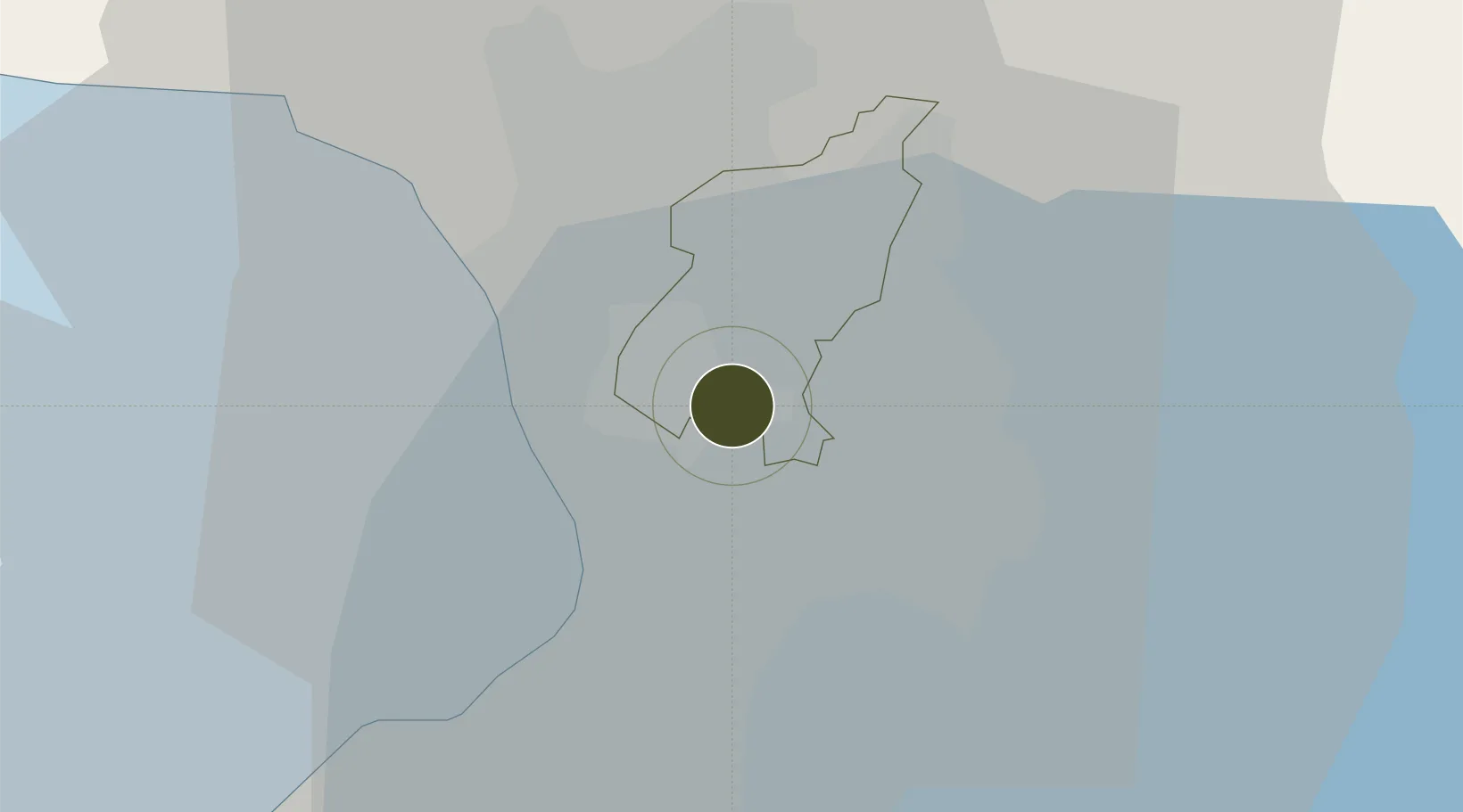
14.6125°, 121.0553°
73 ha
Zone area
10.1 km
Nearest port
12.2 km
Nearest airport

Gateway access

Nearest neighbours — logibook spatial index (haversine) over the source coordinates

Zone profile

Zone type
Diversified Zone
Open Zone Map
Region
Quezon City
Open Zone Map
Status
Under Development
Open Zone Map
Management
Private
Open Zone Map
Operator
Ilijan Primeline Holdings, Inc.
Open Zone Map
Legal framework
Special Economic Zone Act (Republic Act No. 7916) (as amended by Republic Act No. 8748)
Open Zone Map

Location

Location of ozm-3163
Natural Earth 10m (public domain) · Quezon City · ozm-3163 · 14.61, 121.06GoogleOSMYandex

Nearby Logistics Neighbours

Ports
  1. 1Manila10 km
  2. 2Mariveles65 km
  3. 3Nasugbu76 km
  4. 4Subic Bay87 km
  5. 5Batangas City96 km
Nearest neighbours — logibook spatial index (haversine) over the source coordinates
Airports
  1. 1Ninoy Aquino International Airport12 km
  2. 2Danilo Atienza Air Base21 km
  3. 3Clark International Airport / Clark Air Base83 km
  4. 4Subic Bay International Airport / Naval Air Station Cubi Point87 km
  5. 5Lubang Airport133 km
Nearest neighbours — logibook spatial index (haversine) over the source coordinates
Cities
  1. 1Muntinlupa City1 km
  2. 2Libis2 km
  3. 3San Juan3 km
  4. 4Quezon City3 km
  5. 5Philippines7 km
Nearest neighbours — logibook spatial index (haversine) over the source coordinates
Trade Zones
  1. 1Philippine Defense Industrial Complex0 km
  2. 2Manila COD IT Building0 km
  3. 3Harvester Corporate Center1 km
  4. 4Spark Place1 km
  5. 5Cyber Park Building One1 km
Nearest neighbours — logibook spatial index (haversine) over the source coordinates
DatabookThe Record of Consolidated Knowledge
Philippines beyond logistics?
Browse databook

All Sources

Trade ZonesOpen Zone Map
CC BY
Portsthe NGA World Port Index
Public domain (US gov)
AirportsOurAirports
Public domain
LocationsUN/LOCODE
UN/LOCODE — free
← Philippines trade zones