Transport Functions
Multimodal
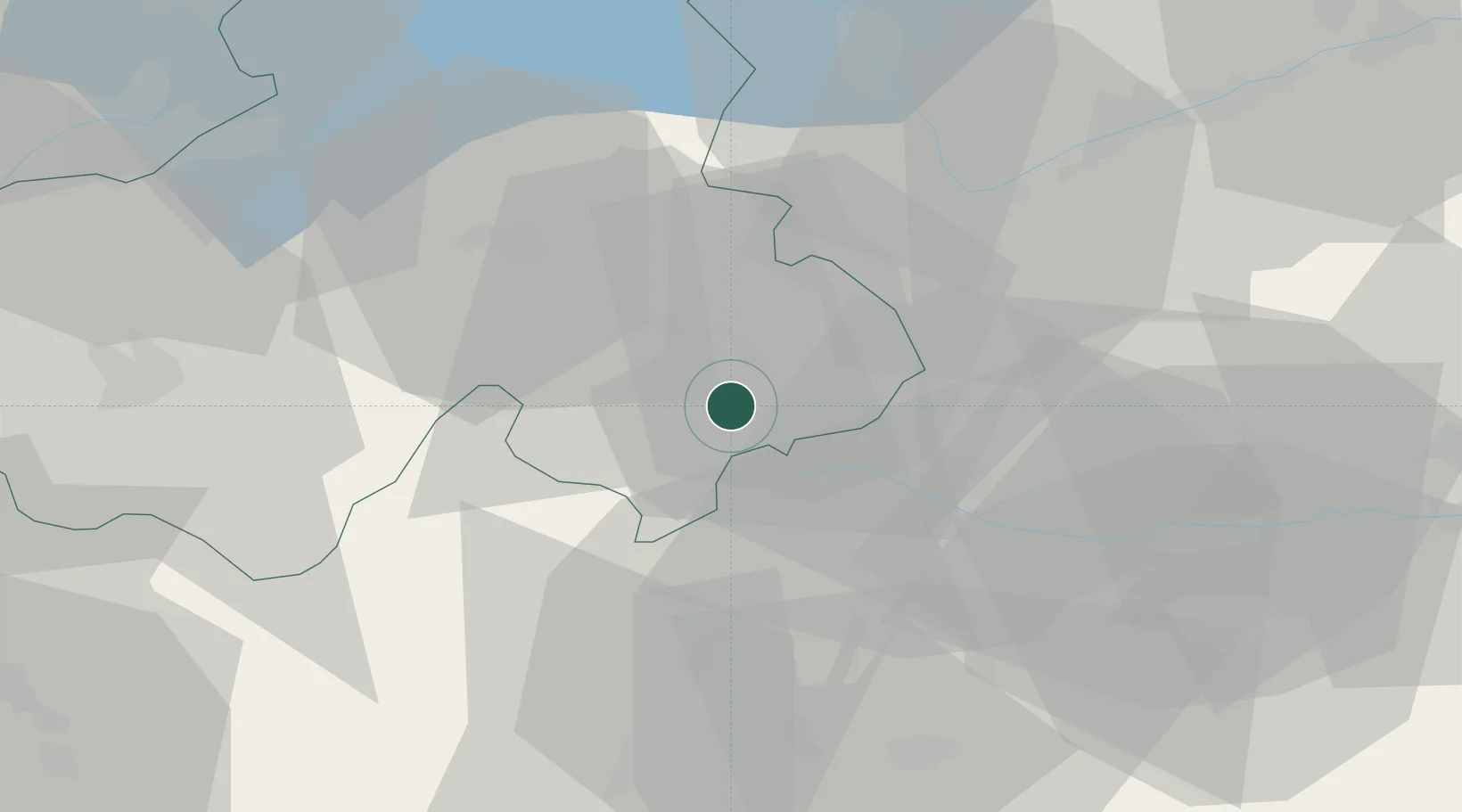
Hub Profile
Place type
Populated place
Region
Rhône-Alpes
Population
2,985
Time zone
Europe/Paris
Elevation
1,038 m
Location
Nearby Logistics Neighbours
Cities
- 1Saint-Gervais-les-Bains8 km
- 2Passy10 km
- 3Cluses26 km
- 4Bourg-Saint-Maurice30 km
- 5Martigny-Ville33 km
Ports
- 1Savona219 km
- 2Rada Di Vado222 km
- 3Genova235 km
- 4San Remo243 km
- 5Imperia243 km
Airports
- 1Aosta Corrado Gex Airport47 km
- 2Annemasse Airfield54 km
- 3Annecy Meythet airport55 km
- 4Sion Airport55 km
- 5Geneva Cointrin International Airport66 km
Trade Zones
DatabookThe Record of Consolidated Knowledge
France beyond logistics?