Transport Functions
Road
Multimodal
Hub Profile
Place type
Populated place
Region
Rhône-Alpes
Population
678
Time zone
Europe/Paris
Elevation
772 m
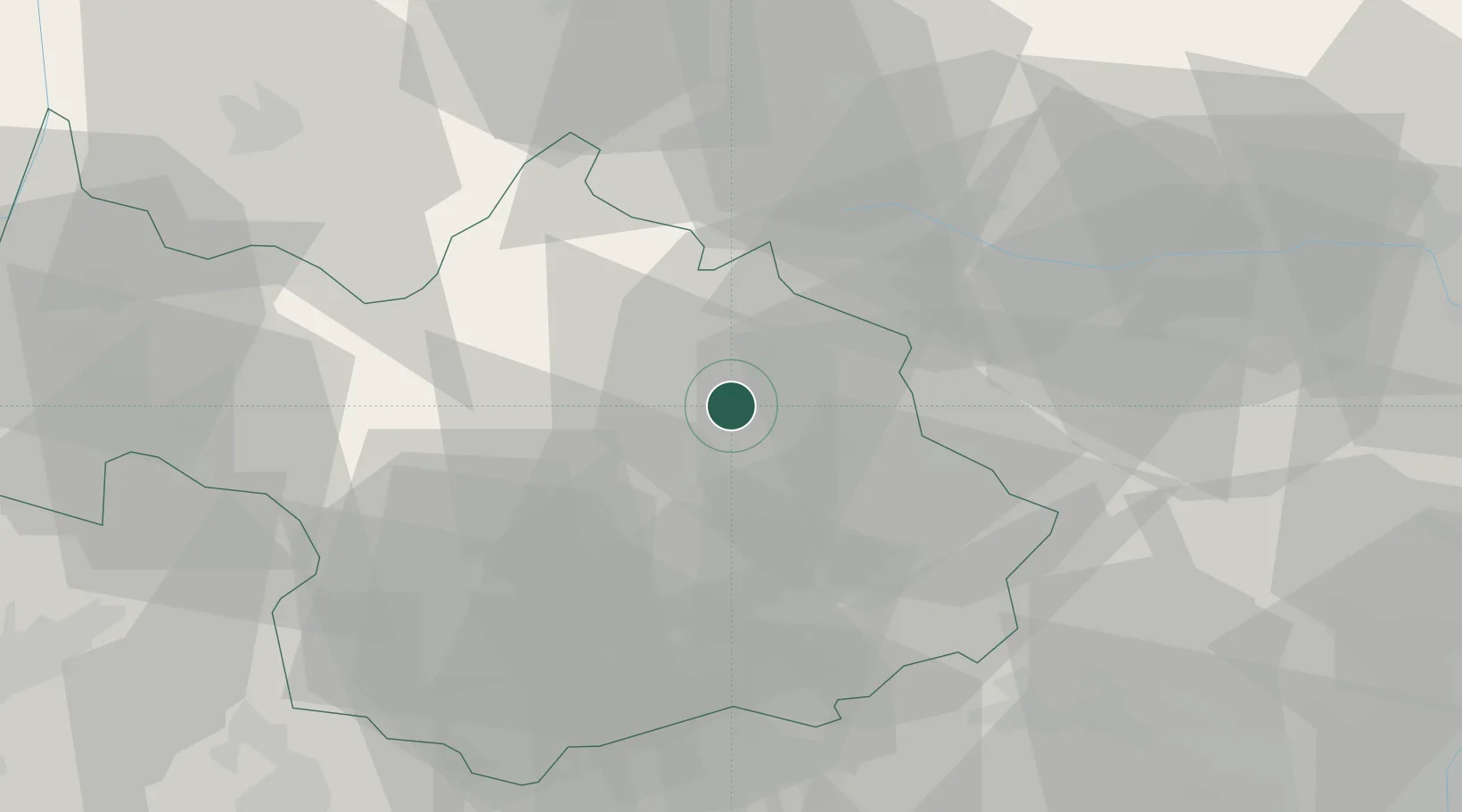
Location
Nearby Logistics Neighbours
Cities
- 1Bourg-Saint-Maurice8 km
- 2Petit-Cur19 km
- 3Albertville30 km
- 4Aiguebelle34 km
- 5Tournon35 km
Ports
- 1Savona195 km
- 2Rada Di Vado197 km
- 3Monaco209 km
- 4San Remo210 km
- 5Nice210 km
Airports
- 1Aosta Corrado Gex Airport54 km
- 2Annecy Meythet airport65 km
- 3Chambéry Aix les Bains airport67 km
- 4Annemasse Airfield80 km
- 5Turin Airport81 km
Trade Zones
DatabookThe Record of Consolidated Knowledge
France beyond logistics?