UN/LOCODE hub · France
FRAQS
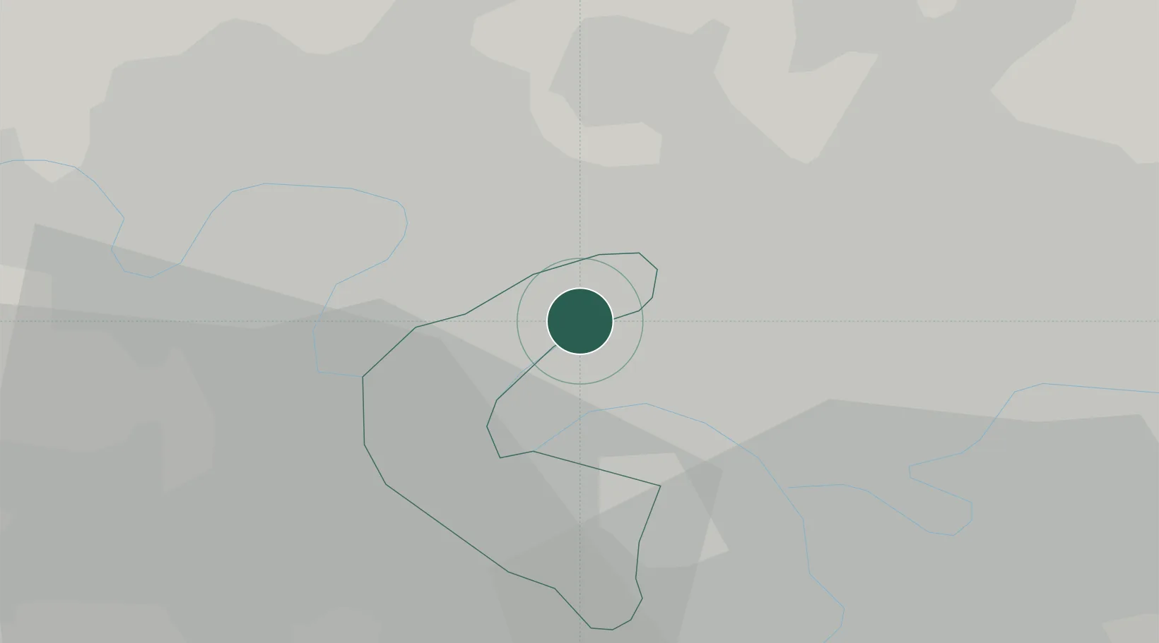
Asnières-sur-Seine
48.9167°, 2.2833°
86,742
Population
2
Transport functions
Transport Functions
Port
Road
Hub Profile
Place type
Populated place
Region
Île-de-France
Population
86,742
Time zone
Europe/Paris
Elevation
35 m
Location
Nearby Logistics Neighbours
Cities
- 1Gennevilliers2 km
- 2Clichy2 km
- 3Colombes2 km
- 4La Garenne-Colombes3 km
- 5Saint-Ouen4 km
Ports
- 1Port Of Rouen107 km
- 2Dieppe143 km
- 3Le Treport144 km
- 4Saint-Valery-Sur-Somme149 km
- 5Honfleur160 km
Airports
Trade Zones
DatabookThe Record of Consolidated Knowledge
France beyond logistics?