Transport Functions
Rail
Road
Hub Profile
Place type
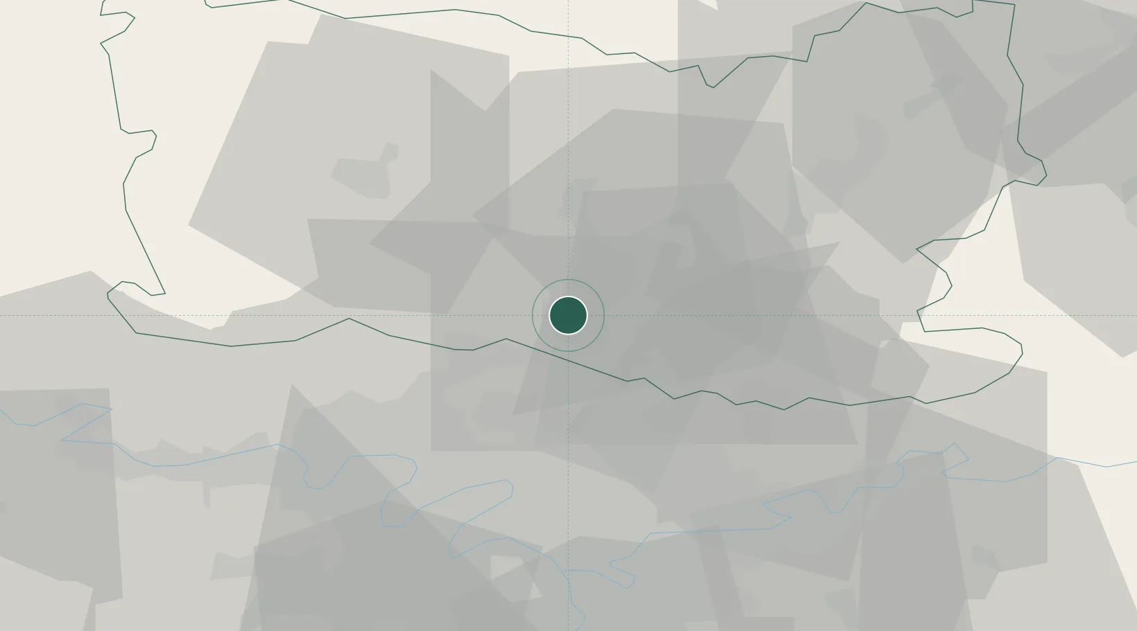
Populated place
Region
Hauts-de-France
Time zone
Europe/Paris
Elevation
33 m
Location
Nearby Logistics Neighbours
Cities
- 1Creil6 km
- 2Cires-lès-Mello7 km
- 3Nogent-sur-Oise7 km
- 4Verneuil-en-Halatte8 km
- 5Villers-Saint-Paul9 km
Ports
- 1Port Of Rouen101 km
- 2Le Treport121 km
- 3Saint-Valery-Sur-Somme122 km
- 4Dieppe125 km
- 5Fecamp160 km
Airports
Trade Zones
- 1ZFU Creil et Montataire5 km
- 2ZFU Villiers-le-Bel23 km
- 3ZFU Garges-lès-Gonesse et Sarcelles27 km
- 4ZFU Stains29 km
- 5ZFU Aulnay-sous-Bois30 km
DatabookThe Record of Consolidated Knowledge
France beyond logistics?