Transport Functions
Port
Rail
Hub Profile
Place type
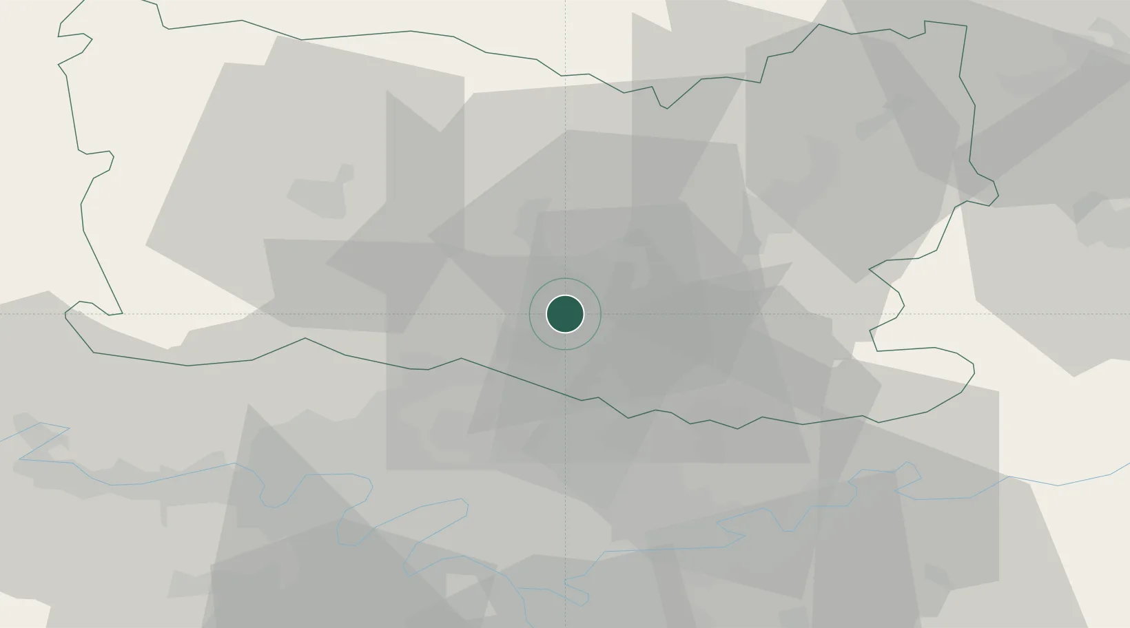
Populated place
Region
Hauts-de-France
Population
31,863
Time zone
Europe/Paris
Elevation
73 m
Location
Nearby Logistics Neighbours
Cities
- 1Nogent-sur-Oise2 km
- 2Verneuil-en-Halatte2 km
- 3Villers-Saint-Paul4 km
- 4Monchy-Saint-Éloi6 km
- 5Saint-Leu-d'Esserent6 km
Ports
- 1Port Of Rouen105 km
- 2Saint-Valery-Sur-Somme121 km
- 3Le Treport121 km
- 4Dieppe126 km
- 5Fecamp163 km
Airports
Trade Zones
- 1ZFU Creil et Montataire5 km
- 2ZFU Villiers-le-Bel28 km
- 3ZFU Garges-lès-Gonesse et Sarcelles32 km
- 4ZFU Stains34 km
- 5ZFU Aulnay-sous-Bois34 km
DatabookThe Record of Consolidated Knowledge
France beyond logistics?