Transport Functions
Port
Rail
Airport
Hub Profile
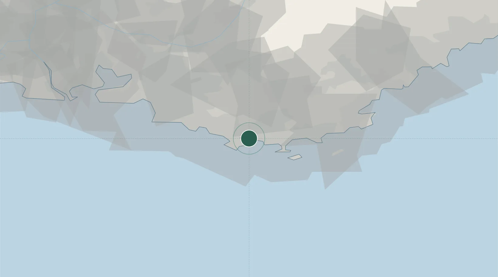
Place type
Provincial seat
Region
Provence-Alpes-Côte d'Azur
Population
168,701
Time zone
Europe/Paris
Elevation
12 m
Location
Nearby Logistics Neighbours
Cities
- 1La Seyne-sur-Mer5 km
- 2Le Pradet7 km
- 3Ollioules8 km
- 4Évenos9 km
- 5La Farlède10 km
Ports
- 1Marseille51 km
- 2Saint-Tropez59 km
- 3Saint-Raphael75 km
- 4Port-de-Bouc83 km
- 5Fos91 km
Airports
- 1Toulon-Hyères Airport17 km
- 2Le Castellet Airport19 km
- 3La Môle Airport46 km
- 4Le Luc-Le Cannet Airfield47 km
- 5Marseille Provence Airport68 km
Trade Zones
- 1ZFU Toulon1 km
- 2ZFU La Seyne-sur-Mer8 km
- 3ZFU Marseille 15e et 16e52 km
- 4ZFU Saint-Barthélémy, Le Canet, Delorme-Paternelle59 km
- 5ZFU LAriane130 km
DatabookThe Record of Consolidated Knowledge
France beyond logistics?