UN/LOCODE hub · France
FRYNE
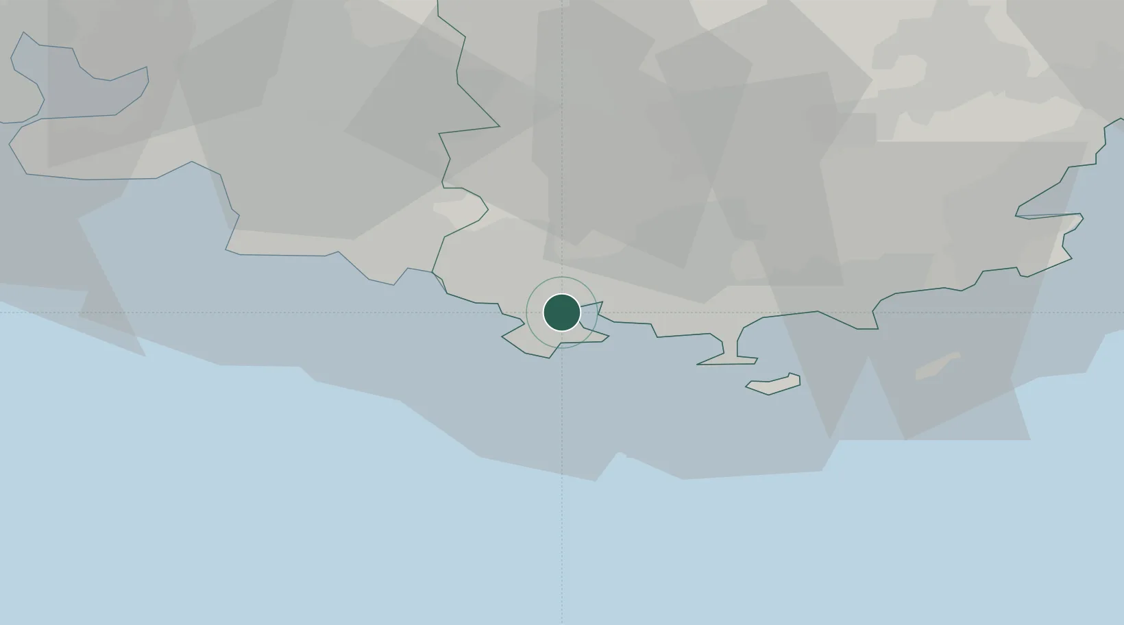
La Seyne-sur-Mer
43.1170°, 5.8769°
62,330
Population
3
Transport functions
Transport Functions
Port
Rail
Road
Hub Profile
Place type
Populated place
Region
Provence-Alpes-Côte d'Azur
Population
62,330
Time zone
Europe/Paris
Elevation
5 m
Logistics facilities
1
Location
Nearby Logistics Neighbours
Cities
- 1Ollioules4 km
- 2Toulon5 km
- 3Évenos6 km
- 4Sanary-sur-Mer6 km
- 5Le Beausset11 km
Ports
- 1Toulon4 km
- 2Marseille47 km
- 3Saint-Tropez64 km
- 4Port-de-Bouc79 km
- 5Saint-Raphael79 km
Airports
- 1Le Castellet Airport17 km
- 2Toulon-Hyères Airport22 km
- 3La Môle Airport50 km
- 4Le Luc-Le Cannet Airfield51 km
- 5Marseille Provence Airport65 km
Trade Zones
- 1ZFU La Seyne-sur-Mer5 km
- 2ZFU Toulon5 km
- 3ZFU Marseille 15e et 16e48 km
- 4ZFU Saint-Barthélémy, Le Canet, Delorme-Paternelle55 km
- 5ZFU Avignon127 km
DatabookThe Record of Consolidated Knowledge
France beyond logistics?