Transport Functions
Port
Road
Hub Profile
Place type
Populated place
Region
Provence-Alpes-Côte d'Azur
Population
19,166
Time zone
Europe/Paris
Elevation
9 m
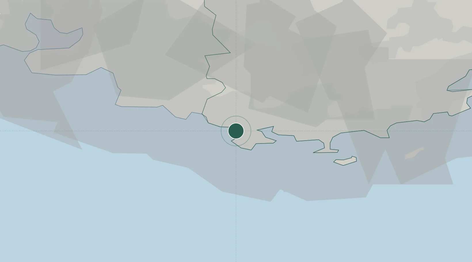
Location
Nearby Logistics Neighbours
Cities
- 1Ollioules3 km
- 2La Seyne-sur-Mer6 km
- 3Évenos7 km
- 4Bandol7 km
- 5Le Beausset9 km
Ports
- 1Toulon10 km
- 2Marseille42 km
- 3Saint-Tropez70 km
- 4Port-de-Bouc73 km
- 5Fos81 km
Airports
- 1Le Castellet Airport15 km
- 2Toulon-Hyères Airport28 km
- 3Le Luc-Le Cannet Airfield56 km
- 4La Môle Airport56 km
- 5Marseille Provence Airport60 km
Trade Zones
- 1ZFU La Seyne-sur-Mer5 km
- 2ZFU Toulon11 km
- 3ZFU Marseille 15e et 16e43 km
- 4ZFU Saint-Barthélémy, Le Canet, Delorme-Paternelle49 km
- 5ZFU Avignon123 km
DatabookThe Record of Consolidated Knowledge
France beyond logistics?