Transport Functions
Multimodal
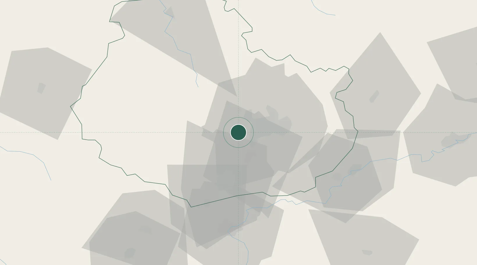
Hub Profile
Place type
Populated place
Region
Bourgogne
Population
160
Time zone
Europe/Paris
Elevation
506 m
Location
Nearby Logistics Neighbours
Cities
- 1Chambuf6 km
- 2Fleurey-sur-Ouche6 km
- 3Plombières-lès-Dijon7 km
- 4Talant7 km
- 5Dijon8 km
Ports
- 1Port Of Rouen373 km
- 2Bruxelles401 km
- 3Saint-Valery-Sur-Somme403 km
- 4Le Treport405 km
- 5Dieppe408 km
Airports
- 1Dijon Longvic airport13 km
- 2Dole Tavaux Airport47 km
- 3Vesoul-Frotey Airfield105 km
- 4Mâcon-Charnay Airfield110 km
- 5Saint-Yan Airport119 km
Trade Zones
DatabookThe Record of Consolidated Knowledge
France beyond logistics?