UN/LOCODE hub · France
FRPRY
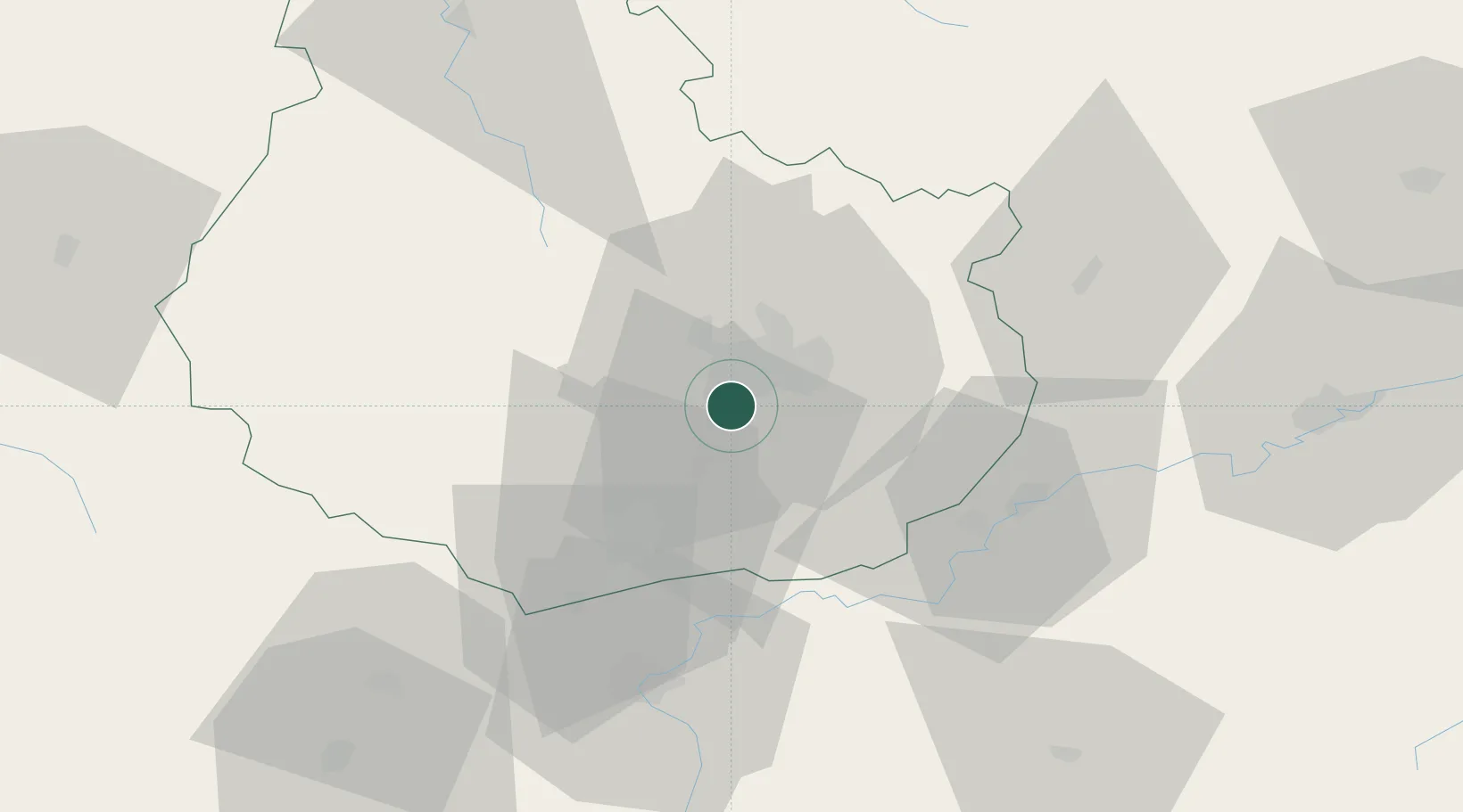
Perrigny-lès-Dijon
47.2500°, 5.0167°
1,703
Population
1
Transport functions
Transport Functions
Rail
Hub Profile
Place type
Populated place
Region
Bourgogne
Population
1,703
Time zone
Europe/Paris
Elevation
254 m
Location
Nearby Logistics Neighbours
Cities
- 1Dijon0 km
- 2Fénay4 km
- 3Saulon-la-Rue5 km
- 4Saulon-la-Chapelle6 km
- 5Morey-Saint-Denis7 km
Ports
- 1Port Of Rouen381 km
- 2Bruxelles405 km
- 3Saint-Valery-Sur-Somme411 km
- 4Le Treport412 km
- 5Dieppe416 km
Airports
- 1Dijon Longvic airport6 km
- 2Dole Tavaux Airport39 km
- 3Vesoul-Frotey Airfield99 km
- 4Mâcon-Charnay Airfield108 km
- 5Luxeuil-Saint-Sauveur (BA 116) Air Base117 km
Trade Zones
DatabookThe Record of Consolidated Knowledge
France beyond logistics?