Transport Functions
Multimodal
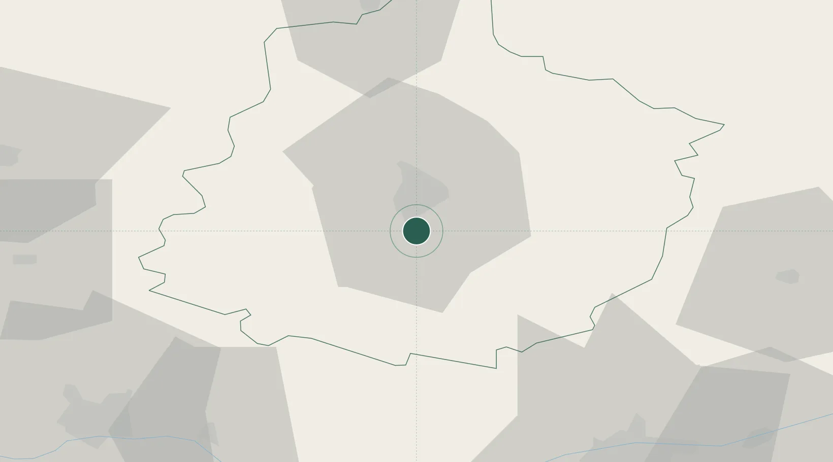
Hub Profile
Place type
Populated place
Region
Pays de la Loire
Population
2,586
Time zone
Europe/Paris
Elevation
57 m
Location
Nearby Logistics Neighbours
Cities
- 1Le Mans11 km
- 2Ardenay-sur-Mérize20 km
- 3Torce-Viviers-en-Charnie21 km
- 4Brains-sur-Gée22 km
- 5Courceboeufs27 km
Ports
- 1Port De Caen148 km
- 2Nantes154 km
- 3Ouistreham157 km
- 4Deauville163 km
- 5Honfleur169 km
Airports
- 1Le Mans-Arnage Airport5 km
- 2Angers Marcé airport54 km
- 3Tours Val de Loire Airport65 km
- 4Laval-Entrammes Airport72 km
- 5Châteaudun Airfield90 km
Trade Zones
- 1ZFU Le Mans11 km
- 2ZFU Alençon60 km
- 3ZFU Angers76 km
- 4ZFU Blois88 km
- 5ZFU Orléans123 km
DatabookThe Record of Consolidated Knowledge
France beyond logistics?