Diversified Zone · China

Xiangcheng Economic Development Zone Active
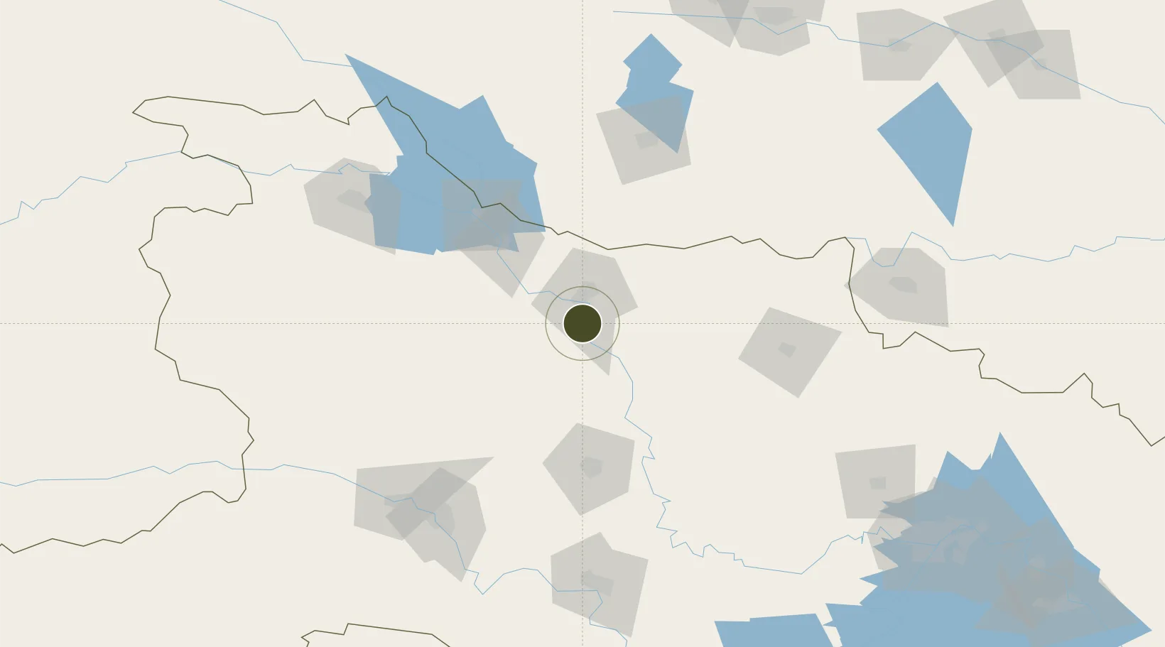
31.9003°, 112.1511°
2,488 ha
Zone area
250.1 km
Nearest port
31.0 km
Nearest airport

Gateway access

Nearest neighbours — logibook spatial index (haversine) over the source coordinates

Zone profile

Zone type
Diversified Zone
Open Zone Map
Region
Hubei
Open Zone Map
Status
Active
Open Zone Map
Management
Public
Open Zone Map
Operator
Management Committee of Xiangcheng Economic Development Zone
Open Zone Map
Legal framework
It was established in June 2008
Open Zone Map

Location

Location of ozm-849
Natural Earth 10m (public domain) · Hubei · ozm-849 · 31.90, 112.15GoogleOSMYandex

Nearby Logistics Neighbours

Ports
  1. 1Hankow250 km
  2. 2Nanjing623 km
  3. 3Zhenjiang687 km
  4. 4Yangzhou687 km
  5. 5Gaogang726 km
Nearest neighbours — logibook spatial index (haversine) over the source coordinates
Airports
  1. 1Xiangyang Liuji Airport31 km
  2. 2Guangzhou MR Air Base / Guanghua Airport69 km
  3. 3Dangyang Air Base127 km
  4. 4Nanyang Jiangying Airport128 km
  5. 5Shiyan Wudangshan Airport140 km
Nearest neighbours — logibook spatial index (haversine) over the source coordinates
Cities
  1. 1Xiangfan15 km
  2. 2Nanyang127 km
  3. 3Shiyan154 km
  4. 4Baiyang174 km
  5. 5Jingzhou Pt178 km
Nearest neighbours — logibook spatial index (haversine) over the source coordinates
Trade Zones
  1. 1Baokang Economic Development Zone13 km
  2. 2Xiang Yang High-Tech Industrial Development Zone23 km
  3. 3Yicheng Economic Development Zone26 km
  4. 4Zhongxiang Economic Development Zone52 km
  5. 5Gucheng Economic Development Zone67 km
Nearest neighbours — logibook spatial index (haversine) over the source coordinates
DatabookThe Record of Consolidated Knowledge
China beyond logistics?
Browse databook

All Sources

Trade ZonesOpen Zone Map
CC BY
Portsthe NGA World Port Index
Public domain (US gov)
AirportsOurAirports
Public domain
LocationsUN/LOCODE
UN/LOCODE — free
← China trade zones