Export Processing Zone · China

Tongan Industrial Park Active
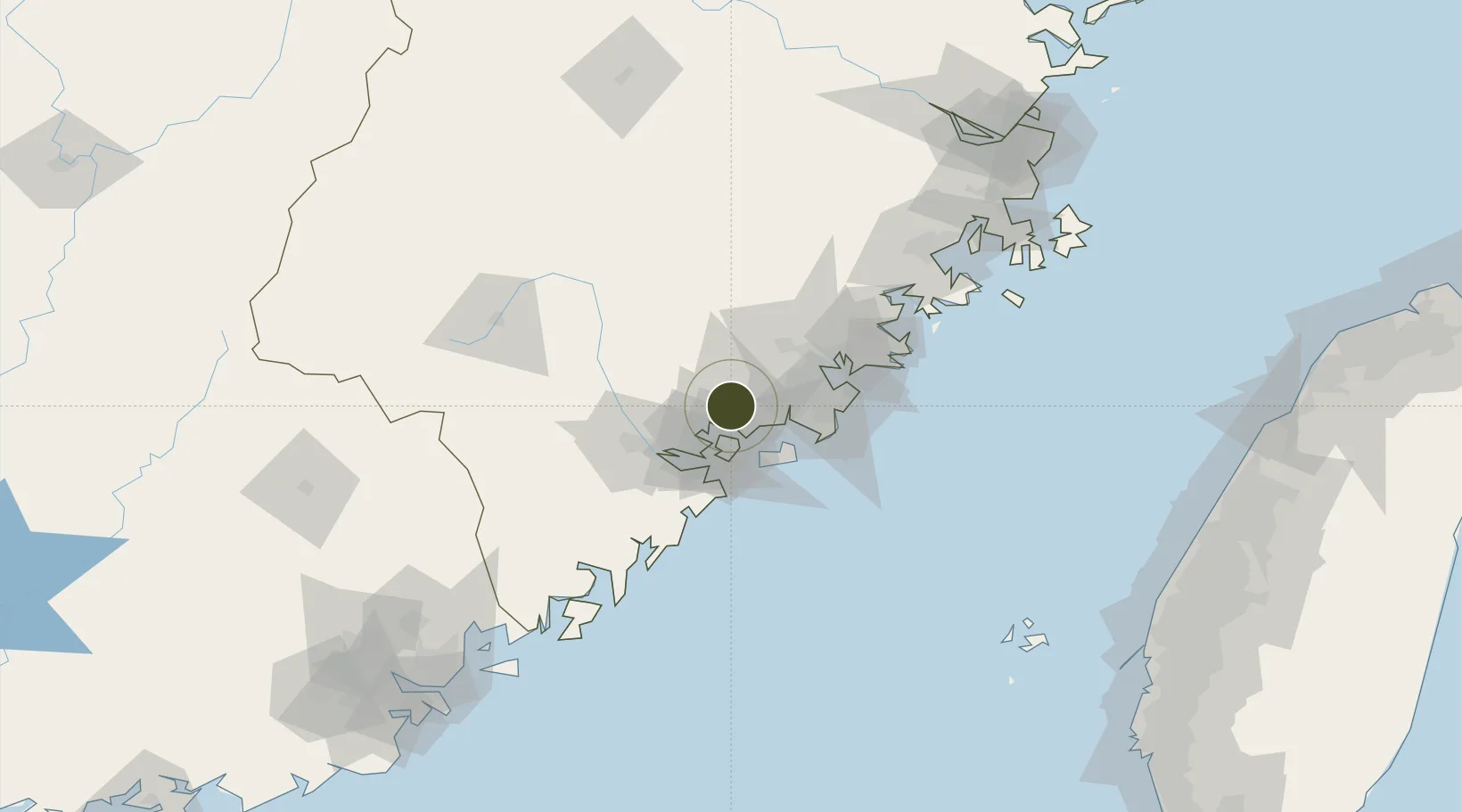
24.6944°, 118.1475°
1,860 ha
Zone area
1.3 km
Nearest port
16.9 km
Nearest airport

Gateway access

Nearest neighbours — logibook spatial index (haversine) over the source coordinates

Zone profile

Zone type
Export Processing Zone
Open Zone Map
Region
Fujian
Open Zone Map
Status
Active
Open Zone Map
Management
Public
Open Zone Map
Operator
Management Committee of Tongan Industrial Concentration Zone
Open Zone Map
Legal framework
Unavailable
Open Zone Map

Location

Location of ozm-1342
Natural Earth 10m (public domain) · Fujian · ozm-1342 · 24.69, 118.15GoogleOSMYandex

Nearby Logistics Neighbours

Ports
  1. 1Zhangzhou1 km
  2. 2Xiamen28 km
  3. 3Quanzhou50 km
  4. 4Xiuyu103 km
  5. 5Dongshan123 km
Nearest neighbours — logibook spatial index (haversine) over the source coordinates
Airports
  1. 1Xiamen Gaoqi International Airport17 km
  2. 2Kinmen Airport37 km
  3. 3Quanzhou Jinjiang International Airport46 km
  4. 4Huian Air Base76 km
  5. 5Longtian Air Base164 km
Nearest neighbours — logibook spatial index (haversine) over the source coordinates
Cities
  1. 1Tongan, Xiamen3 km
  2. 2Xiang'an, Xiamen12 km
  3. 3Jimei,Xiamen13 km
  4. 4Xiamen25 km
  5. 5Dadeng I.25 km
Nearest neighbours — logibook spatial index (haversine) over the source coordinates
Trade Zones
  1. 1Xiangan Industrial Park10 km
  2. 2Xiamen Export Processing Zone28 km
  3. 3Changtai Economic Development Zone36 km
  4. 4Anxi Economic Development Zone40 km
  5. 5Quanzhou Export Processing Zone41 km
Nearest neighbours — logibook spatial index (haversine) over the source coordinates
DatabookThe Record of Consolidated Knowledge
China beyond logistics?
Browse databook

All Sources

Trade ZonesOpen Zone Map
CC BY
Portsthe NGA World Port Index
Public domain (US gov)
AirportsOurAirports
Public domain
LocationsUN/LOCODE
UN/LOCODE — free
← China trade zones