Export Processing Zone · China

Fengcheng Industrial Zone Active

28.2159°, 115.7294°
3,200 ha
Zone area
298.2 km
Nearest port
27.7 km
Nearest airport

Gateway access

Nearest neighbours — logibook spatial index (haversine) over the source coordinates

Zone profile

Zone type
Export Processing Zone
Open Zone Map
Region
Jiangxi
Open Zone Map
Status
Active
Open Zone Map
Management
Public
Open Zone Map
Operator
Working Committee of Fengcheng Industrial Zone
Open Zone Map
Legal framework
Urban and Rural Master Planning of Fengcheng City and "Integration of Multiple Plans" (2015-2030)
Open Zone Map

Location

Location of ozm-1394
Natural Earth 10m (public domain) · Jiangxi · ozm-1394 · 28.22, 115.73GoogleOSMYandex

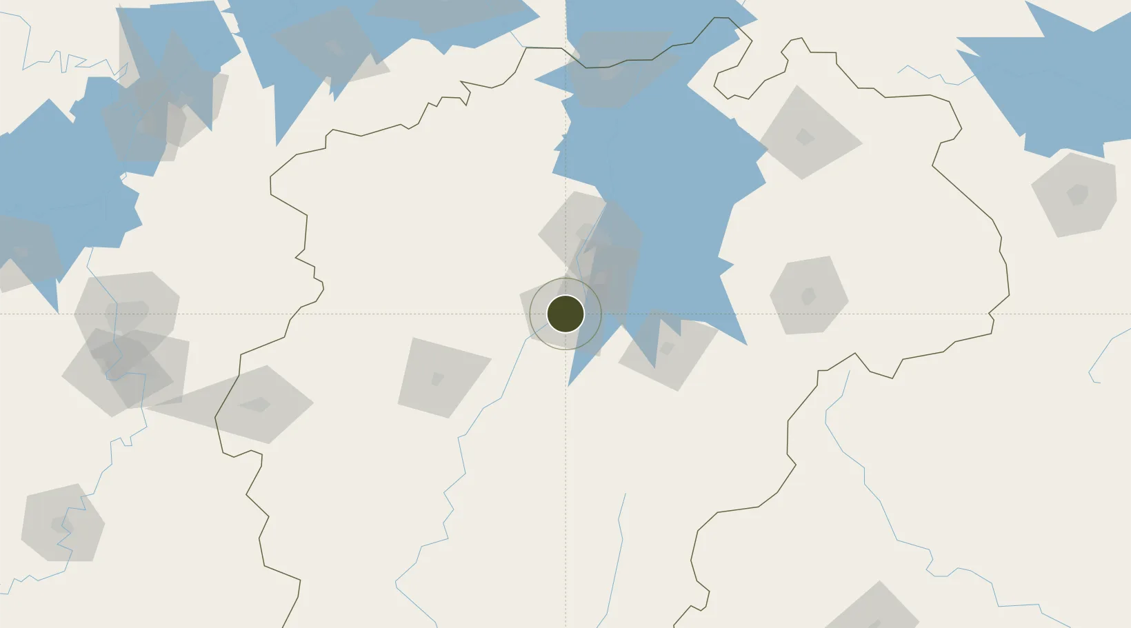
Nearby Logistics Neighbours

Ports
  1. 1Hankow298 km
  2. 2Fuzhou426 km
  3. 3Zhangzhou461 km
  4. 4Xiuyu463 km
  5. 5Quanzhou468 km
Nearest neighbours — logibook spatial index (haversine) over the source coordinates
Airports
  1. 1Zhangshu Air Base28 km
  2. 2Nanchang Xiangtang Air Base30 km
  3. 3Nanchang Changbei International Airport74 km
  4. 4Jiujiang Lushan Airport140 km
  5. 5Yichun Mingyueshan Airport147 km
Nearest neighbours — logibook spatial index (haversine) over the source coordinates
Cities
  1. 1Fuzhou59 km
  2. 2Xinyu91 km
  3. 3Yingtan130 km
  4. 4Jiujiang169 km
  5. 5Jingdezhen187 km
Nearest neighbours — logibook spatial index (haversine) over the source coordinates
Trade Zones
  1. 1Zhangshu Industrial Park24 km
  2. 2(Nanchang) Xiaolan Industrial Zone39 km
  3. 3Gaoan Industrial Park40 km
  4. 4Jinxian Industrial Park41 km
  5. 5Fubei Industrial Park60 km
Nearest neighbours — logibook spatial index (haversine) over the source coordinates
DatabookThe Record of Consolidated Knowledge
China beyond logistics?
Browse databook

All Sources

Trade ZonesOpen Zone Map
CC BY
Portsthe NGA World Port Index
Public domain (US gov)
AirportsOurAirports
Public domain
LocationsUN/LOCODE
UN/LOCODE — free
← China trade zones