Free Trade Zone · China

Fubei Industrial Park Active
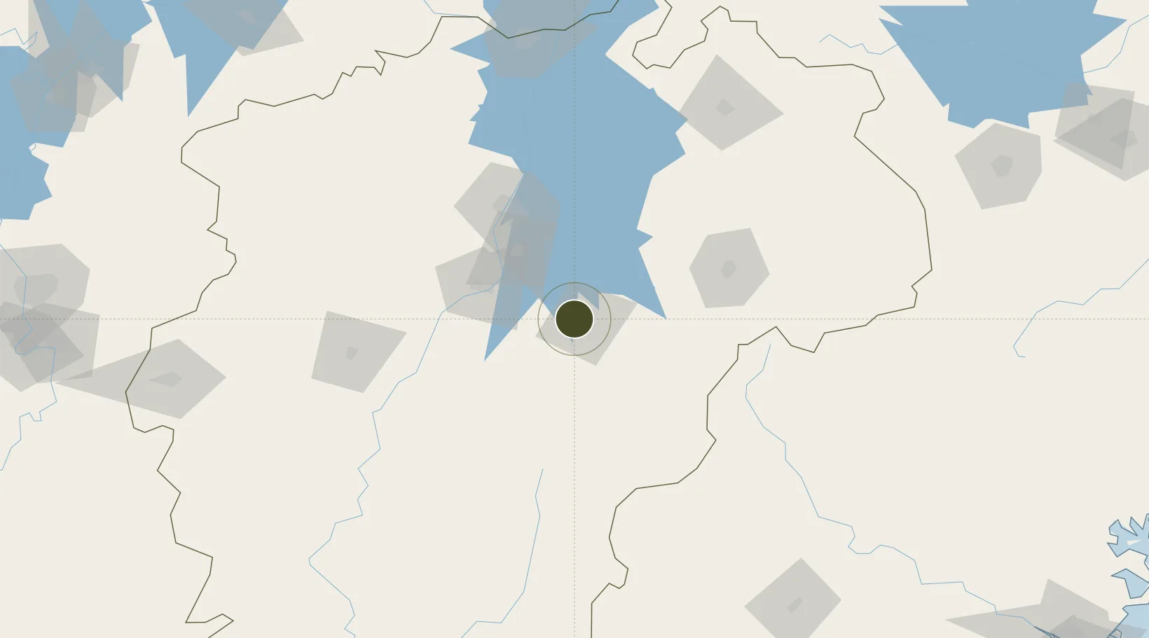
28.0201°, 116.2937°
666 ha
Zone area
345.3 km
Nearest port
57.5 km
Nearest airport

Gateway access

Nearest neighbours — logibook spatial index (haversine) over the source coordinates

Zone profile

Zone type
Free Trade Zone
Open Zone Map
Region
Jiangxi
Open Zone Map
Status
Active
Open Zone Map
Management
Public
Open Zone Map
Operator
Working Committee of Fubei Industrial Park
Open Zone Map
Legal framework
Work summary of Fubei Industrial Park in 2019 and work ideas for 2020
Open Zone Map

Location

Location of ozm-1524
Natural Earth 10m (public domain) · Jiangxi · ozm-1524 · 28.02, 116.29GoogleOSMYandex

Nearby Logistics Neighbours

Ports
  1. 1Hankow345 km
  2. 2Fuzhou367 km
  3. 3Xiuyu409 km
  4. 4Zhangzhou415 km
  5. 5Quanzhou418 km
Nearest neighbours — logibook spatial index (haversine) over the source coordinates
Airports
  1. 1Nanchang Xiangtang Air Base58 km
  2. 2Zhangshu Air Base73 km
  3. 3Nanchang Changbei International Airport101 km
  4. 4Shangrao Sanqingshan Airport169 km
  5. 5Jiujiang Lushan Airport169 km
Nearest neighbours — logibook spatial index (haversine) over the source coordinates
Cities
  1. 1Fuzhou17 km
  2. 2Yingtan80 km
  3. 3Xinyu136 km
  4. 4Jingdezhen167 km
  5. 5Xili176 km
Nearest neighbours — logibook spatial index (haversine) over the source coordinates
Trade Zones
  1. 1Fubei Industrial Zone0 km
  2. 2Fuzhou Jinchao Economic Development Zone11 km
  3. 3Chongren Industrial Park26 km
  4. 4Dongxiang Economic Development Zone37 km
  5. 5Yihuang Industrial Park38 km
Nearest neighbours — logibook spatial index (haversine) over the source coordinates
DatabookThe Record of Consolidated Knowledge
China beyond logistics?
Browse databook

All Sources

Trade ZonesOpen Zone Map
CC BY
Portsthe NGA World Port Index
Public domain (US gov)
AirportsOurAirports
Public domain
LocationsUN/LOCODE
UN/LOCODE — free
← China trade zones