Free Trade Zone · China

Jinxian Industrial Park Active
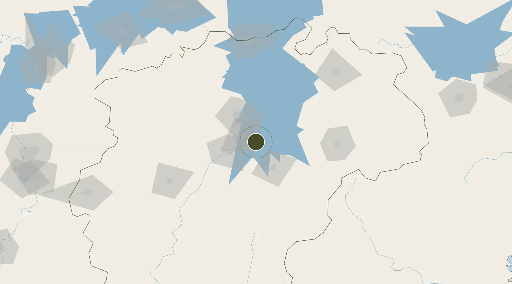
28.3509°, 116.1194°
1,027 ha
Zone area
305.3 km
Nearest port
20.7 km
Nearest airport

Gateway access

Nearest neighbours — logibook spatial index (haversine) over the source coordinates

Zone profile

Zone type
Free Trade Zone
Open Zone Map
Region
Jiangxi
Open Zone Map
Status
Active
Open Zone Map
Management
Public
Open Zone Map
Operator
Working Committee of Jinxian Industrial Park
Open Zone Map
Legal framework
Draft of The overall Urban Plan of Shenyang (2011-2020)
Open Zone Map

Location

Location of ozm-1539
Natural Earth 10m (public domain) · Jiangxi · ozm-1539 · 28.35, 116.12GoogleOSMYandex

Nearby Logistics Neighbours

Ports
  1. 1Hankow305 km
  2. 2Fuzhou403 km
  3. 3Wenzhou446 km
  4. 4Xiuyu448 km
  5. 5Zhangzhou455 km
Nearest neighbours — logibook spatial index (haversine) over the source coordinates
Airports
  1. 1Nanchang Xiangtang Air Base21 km
  2. 2Nanchang Changbei International Airport61 km
  3. 3Zhangshu Air Base67 km
  4. 4Jiujiang Lushan Airport129 km
  5. 5Jingdezhen Luojia Airport151 km
Nearest neighbours — logibook spatial index (haversine) over the source coordinates
Cities
  1. 1Fuzhou29 km
  2. 2Yingtan91 km
  3. 3Xinyu132 km
  4. 4Jingdezhen149 km
  5. 5Jiujiang153 km
Nearest neighbours — logibook spatial index (haversine) over the source coordinates
Trade Zones
  1. 1(Nanchang) Xiaolan Industrial Zone33 km
  2. 2Fubei Industrial Park41 km
  3. 3Fubei Industrial Zone41 km
  4. 4Fengcheng Industrial Zone41 km
  5. 5Dongxiang Economic Development Zone47 km
Nearest neighbours — logibook spatial index (haversine) over the source coordinates
DatabookThe Record of Consolidated Knowledge
China beyond logistics?
Browse databook

All Sources

Trade ZonesOpen Zone Map
CC BY
Portsthe NGA World Port Index
Public domain (US gov)
AirportsOurAirports
Public domain
LocationsUN/LOCODE
UN/LOCODE — free
← China trade zones