Diversified Zone · China

(Nanchang) Xiaolan Industrial Zone Active
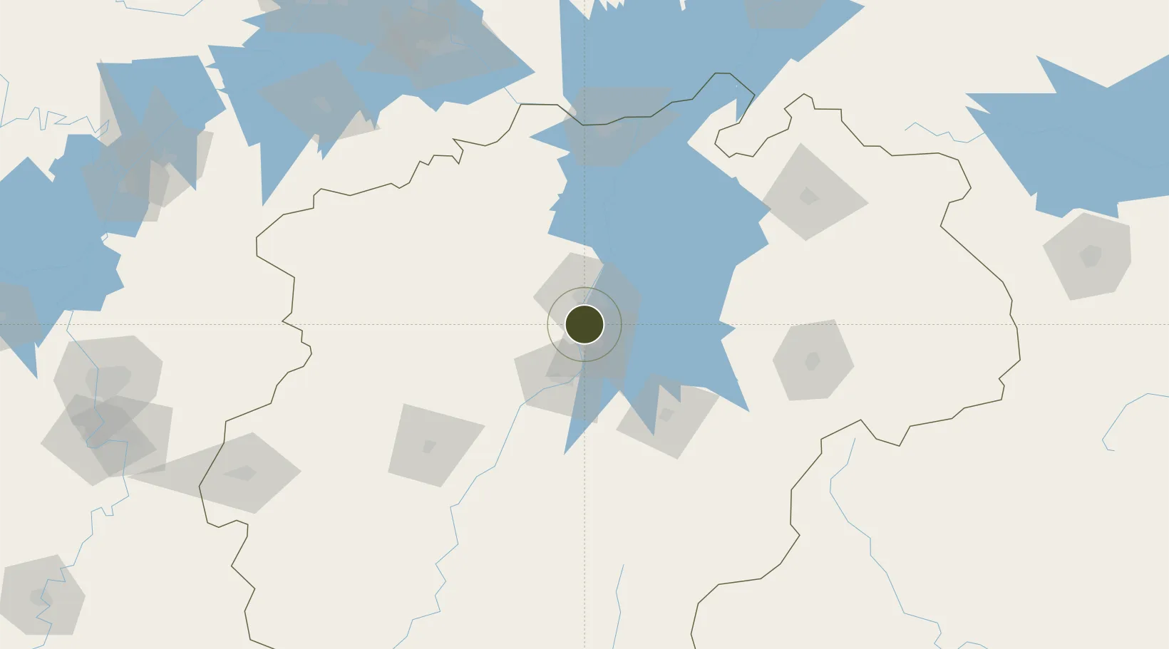
28.5446°, 115.8671°
460 ha
Zone area
273.6 km
Nearest port
14.8 km
Nearest airport

Gateway access

Nearest neighbours — logibook spatial index (haversine) over the source coordinates

Zone profile

Zone type
Diversified Zone
Open Zone Map
Region
Jiangxi
Open Zone Map
Status
Active
Open Zone Map
Management
Public
Open Zone Map
Operator
(Nanchang) Xiaolan Industrial Zone Management committee
Open Zone Map
Legal framework
It was founded in March 2002
Open Zone Map

Location

Location of ozm-502
Natural Earth 10m (public domain) · Jiangxi · ozm-502 · 28.54, 115.87GoogleOSMYandex

Nearby Logistics Neighbours

Ports
  1. 1Hankow274 km
  2. 2Fuzhou436 km
  3. 3Wenzhou472 km
  4. 4Xiuyu481 km
  5. 5Nanjing481 km
Nearest neighbours — logibook spatial index (haversine) over the source coordinates
Airports
  1. 1Nanchang Xiangtang Air Base15 km
  2. 2Nanchang Changbei International Airport36 km
  3. 3Zhangshu Air Base66 km
  4. 4Jiujiang Lushan Airport104 km
  5. 5Jingdezhen Luojia Airport155 km
Nearest neighbours — logibook spatial index (haversine) over the source coordinates
Cities
  1. 1Fuzhou62 km
  2. 2Yingtan119 km
  3. 3Xinyu123 km
  4. 4Jiujiang131 km
  5. 5Jingdezhen155 km
Nearest neighbours — logibook spatial index (haversine) over the source coordinates
Trade Zones
  1. 1Jinxian Industrial Park33 km
  2. 2Fengcheng Industrial Zone39 km
  3. 3Jiangxian Yi Industrial Park42 km
  4. 4Gaoan Industrial Park42 km
  5. 5Fengxin Industrial Zone46 km
Nearest neighbours — logibook spatial index (haversine) over the source coordinates
DatabookThe Record of Consolidated Knowledge
China beyond logistics?
Browse databook

All Sources

Trade ZonesOpen Zone Map
CC BY
Portsthe NGA World Port Index
Public domain (US gov)
AirportsOurAirports
Public domain
LocationsUN/LOCODE
UN/LOCODE — free
← China trade zones