Export Processing Zone · China

Sucheng Economic Development Zone Active
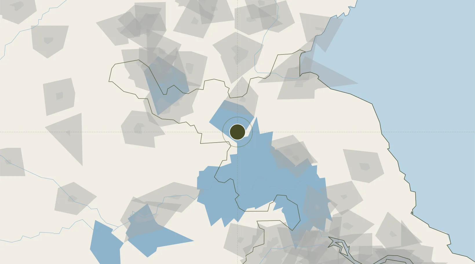
33.8987°, 118.2738°
2,340 ha
Zone area
142.4 km
Nearest port
68.6 km
Nearest airport

Gateway access

Nearest neighbours — logibook spatial index (haversine) over the source coordinates

Zone profile

Zone type
Export Processing Zone
Open Zone Map
Region
Jiangsu
Open Zone Map
Status
Active
Open Zone Map
Management
Public
Open Zone Map
Operator
Management Committee of Sucheng Economic Development Zone
Open Zone Map
Legal framework
It began construction in April 2002
Open Zone Map

Location

Location of ozm-1368
Natural Earth 10m (public domain) · Jiangsu · ozm-1368 · 33.90, 118.27GoogleOSMYandex

Nearby Logistics Neighbours

Ports
  1. 1Lianyungang142 km
  2. 2Lanshan165 km
  3. 3Rizhao203 km
  4. 4Nanjing207 km
  5. 5Yangzhou211 km
Nearest neighbours — logibook spatial index (haversine) over the source coordinates
Airports
  1. 1Xuzhou Guanyin International Airport69 km
  2. 2Huai'an Lianshui Airport80 km
  3. 3Lianyungang Huaguoshan International Airport101 km
  4. 4Xuzhou Daguozhang Air Base102 km
  5. 5Linyi Qiyang Airport129 km
Nearest neighbours — logibook spatial index (haversine) over the source coordinates
Cities
  1. 1Zhangshan25 km
  2. 2Pizhou54 km
  3. 3Huaiyin75 km
  4. 4Chizhou77 km
  5. 5Cangshan108 km
Nearest neighbours — logibook spatial index (haversine) over the source coordinates
Trade Zones
  1. 1Suqian Economic Development Zone0 km
  2. 2Suyu Economic Development Zone6 km
  3. 3Siyang Economic Development Zone49 km
  4. 4Pizhou High-tech Industrial Development Zone52 km
  5. 5Pizhou Economic Development Zone59 km
Nearest neighbours — logibook spatial index (haversine) over the source coordinates
DatabookThe Record of Consolidated Knowledge
China beyond logistics?
Browse databook

All Sources

Trade ZonesOpen Zone Map
CC BY
Portsthe NGA World Port Index
Public domain (US gov)
AirportsOurAirports
Public domain
LocationsUN/LOCODE
UN/LOCODE — free
← China trade zones