UN/LOCODE hub · China
CNXAM
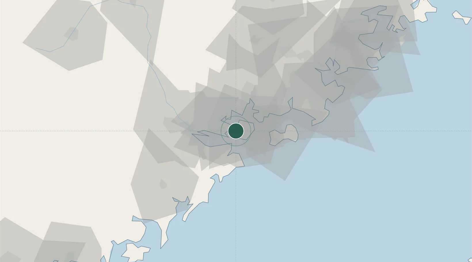
Xiamen
24.4854°, 118.0705°
4,617,251
Population
4
Transport functions
7
Container terminals
Transport Functions
Port
Rail
Airport
Postal
Hub Profile
Place type
Provincial seat
Region
Fujian
Population
4,617,251
Time zone
Asia/Shanghai
Elevation
12 m
Logistics facilities
20
Container terminals
7
Location
Nearby Logistics Neighbours
Cities
- 1Jimei,Xiamen11 km
- 2Xiamen Pt20 km
- 3Xiang'an, Xiamen25 km
- 4Dadeng I.26 km
- 5Tongan, Xiamen28 km
Airports
- 1Xiamen Gaoqi International Airport9 km
- 2Kinmen Airport30 km
- 3Quanzhou Jinjiang International Airport63 km
- 4Huian Air Base96 km
- 5Longtian Air Base185 km
Trade Zones
DatabookThe Record of Consolidated Knowledge
China beyond logistics?