UN/LOCODE hub · China
CNXAN

Xiang'an, Xiamen

24.6333°, 118.2500°
2
Transport functions

Transport Functions

Port
Multimodal
UN/LOCODE

Hub Profile

Region
FJ
GeoNames

Location

Location of CNXAN
Natural Earth 10m (public domain) · FJ · CNXAN · 24.63, 118.25GoogleOSMYandex

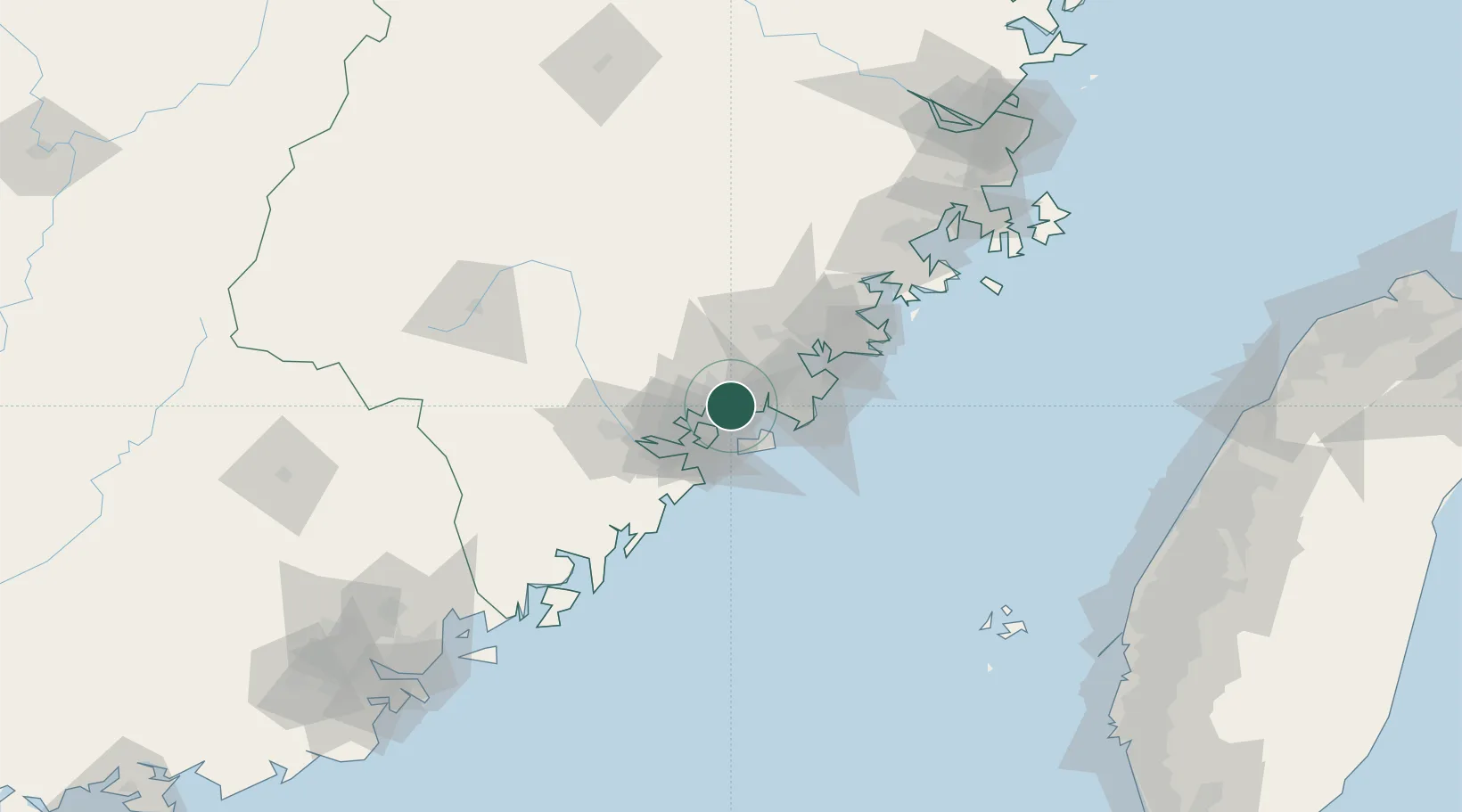
Nearby Logistics Neighbours

Cities
  1. 1Tongan, Xiamen13 km
  2. 2Dadeng I.13 km
  3. 3Jimei,Xiamen16 km
  4. 4Shijing19 km
  5. 5Dongshi22 km
Nearest neighbours — logibook spatial index (haversine) over the source coordinates
Ports
  1. 1Zhangzhou12 km
  2. 2Xiamen28 km
  3. 3Quanzhou45 km
  4. 4Xiuyu100 km
  5. 5Dongshan123 km
Nearest neighbours — logibook spatial index (haversine) over the source coordinates
Airports
  1. 1Xiamen Gaoqi International Airport16 km
  2. 2Kinmen Airport25 km
  3. 3Quanzhou Jinjiang International Airport39 km
  4. 4Huian Air Base71 km
  5. 5Longtian Air Base161 km
Nearest neighbours — logibook spatial index (haversine) over the source coordinates
Trade Zones
  1. 1Xiangan Industrial Park12 km
  2. 2Tongan Industrial Park12 km
  3. 3Xiamen Export Processing Zone30 km
  4. 4Quanzhou Export Processing Zone36 km
  5. 5Longhai Economic Development Zone40 km
Nearest neighbours — logibook spatial index (haversine) over the source coordinates
DatabookThe Record of Consolidated Knowledge
China beyond logistics?
Browse databook

All Sources

LocationsUN/LOCODE
UN/LOCODE — free
Portsthe NGA World Port Index
Public domain (US gov)
AirportsOurAirports
Public domain
Trade Zonesthe World Bank SEZ database
CC BY 4.0
Trade ZonesOpen Zone Map
CC BY
← China locations