UN/LOCODE hub · China
CNJIM

Jimei,Xiamen

24.5833°, 118.1000°
3
Transport functions

Transport Functions

Rail
Road
Multimodal
UN/LOCODE

Hub Profile

Region
FJ
GeoNames

Location

Location of CNJIM
Natural Earth 10m (public domain) · FJ · CNJIM · 24.58, 118.10GoogleOSMYandex

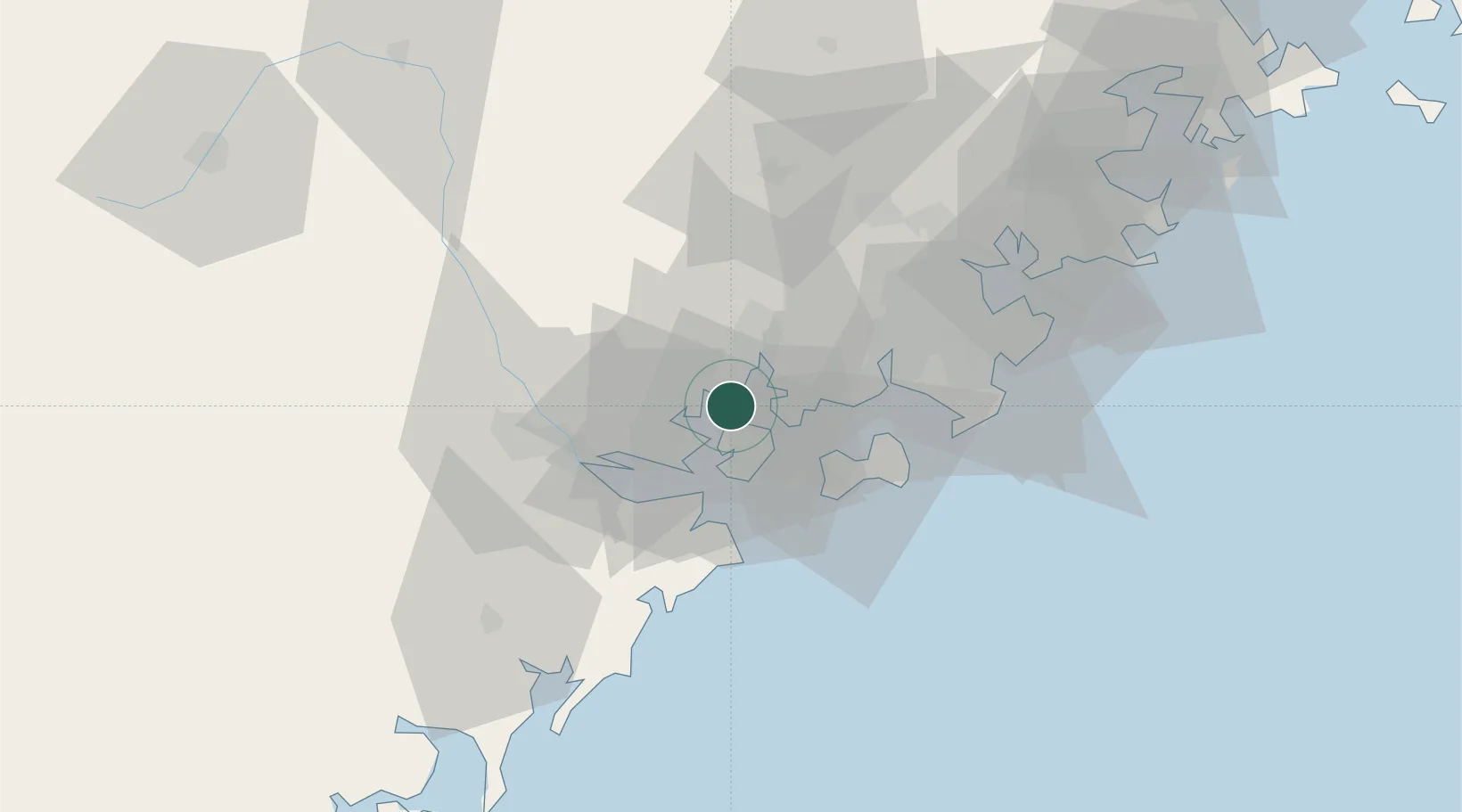
Nearby Logistics Neighbours

Cities
  1. 1Xiamen11 km
  2. 2Xiang'an, Xiamen16 km
  3. 3Tongan, Xiamen16 km
  4. 4Dadeng I.23 km
  5. 5Xiamen Pt28 km
Nearest neighbours — logibook spatial index (haversine) over the source coordinates
Ports
  1. 1Zhangzhou12 km
  2. 2Xiamen15 km
  3. 3Quanzhou61 km
  4. 4Dongshan110 km
  5. 5Xiuyu115 km
Nearest neighbours — logibook spatial index (haversine) over the source coordinates
Airports
  1. 1Xiamen Gaoqi International Airport5 km
  2. 2Kinmen Airport31 km
  3. 3Quanzhou Jinjiang International Airport55 km
  4. 4Huian Air Base87 km
  5. 5Longtian Air Base176 km
Nearest neighbours — logibook spatial index (haversine) over the source coordinates
Trade Zones
  1. 1Tongan Industrial Park13 km
  2. 2Xiamen Export Processing Zone15 km
  3. 3Xiangan Industrial Park22 km
  4. 4Longhai Economic Development Zone28 km
  5. 5Changtai Economic Development Zone30 km
Nearest neighbours — logibook spatial index (haversine) over the source coordinates
DatabookThe Record of Consolidated Knowledge
China beyond logistics?
Browse databook

All Sources

LocationsUN/LOCODE
UN/LOCODE — free
Portsthe NGA World Port Index
Public domain (US gov)
AirportsOurAirports
Public domain
Trade Zonesthe World Bank SEZ database
CC BY 4.0
Trade ZonesOpen Zone Map
CC BY
← China locations