Export Processing Zone · China

Changtai Economic Development Zone Active
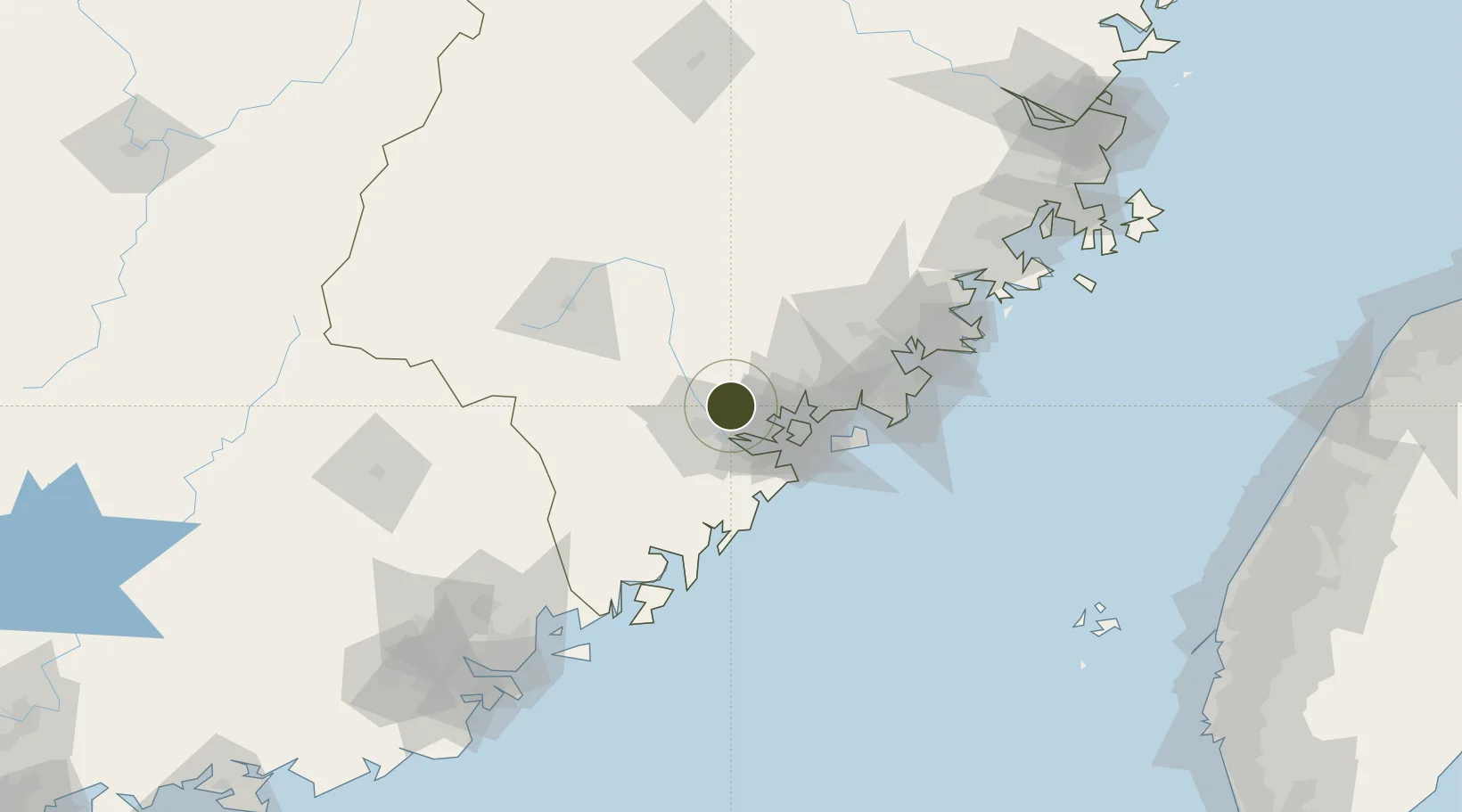
24.6206°, 117.8028°
1,200 ha
Zone area
32.7 km
Nearest port
33.9 km
Nearest airport

Gateway access

Nearest neighbours — logibook spatial index (haversine) over the source coordinates

Zone profile

Zone type
Export Processing Zone
Open Zone Map
Region
Fujian
Open Zone Map
Status
Active
Open Zone Map
Management
Public
Open Zone Map
Operator
Changtai Economic Development Zone Management Committee
Open Zone Map
Legal framework
Unavailable
Open Zone Map

Location

Location of ozm-1286
Natural Earth 10m (public domain) · Fujian · ozm-1286 · 24.62, 117.80GoogleOSMYandex

Nearby Logistics Neighbours

Ports
  1. 1Xiamen33 km
  2. 2Zhangzhou36 km
  3. 3Quanzhou86 km
  4. 4Dongshan101 km
  5. 5Chaozhou133 km
Nearest neighbours — logibook spatial index (haversine) over the source coordinates
Airports
  1. 1Xiamen Gaoqi International Airport34 km
  2. 2Kinmen Airport60 km
  3. 3Quanzhou Jinjiang International Airport82 km
  4. 4Huian Air Base111 km
  5. 5Liancheng Guanzhishan Airport158 km
Nearest neighbours — logibook spatial index (haversine) over the source coordinates
Cities
  1. 1Zhangzhou19 km
  2. 2Fuzhou19 km
  3. 3Jimei,Xiamen30 km
  4. 4Xiamen31 km
  5. 5Tongan, Xiamen38 km
Nearest neighbours — logibook spatial index (haversine) over the source coordinates
Trade Zones
  1. 1Lantian Economic Development Zone13 km
  2. 2Huaan Economic Development Zone16 km
  3. 3Jinfeng Economic Development Zone19 km
  4. 4Xiamen Export Processing Zone27 km
  5. 5Tongan Industrial Park36 km
Nearest neighbours — logibook spatial index (haversine) over the source coordinates
DatabookThe Record of Consolidated Knowledge
China beyond logistics?
Browse databook

All Sources

Trade ZonesOpen Zone Map
CC BY
Portsthe NGA World Port Index
Public domain (US gov)
AirportsOurAirports
Public domain
LocationsUN/LOCODE
UN/LOCODE — free
← China trade zones